
What is recorded here
The fairy fort or earthen ringfort in Culleen More is in County Westmeath, Ireland. It stands on a west-southwest-facing slope of rising ground on the shore of Lough Owel, offering good views from the southwest to the northwest. The 1837 OS Fair Plan map depicts the site as an oval-shaped enclosure annotated as a fort. A north-south running railway line cuts through the monument, leaving only the east side to survive as a semi-circular area roughly fifty metres in diameter, enclosed by an arc of earthen bank curving from north through east to southeast.
Situated on the shore of Lough Owel on WSW facing slope of rising ground with good views from SW-NW. Depicted on the 1837 OS Fair Plan map as an oval shaped enclosure annotated as ‘fort’. A railway line (Sligo Branch of the MGWR) running N-S cuts through the site; only the E side of the monument survives. All that is now visible is semi-circular area (approx. diam. 50m N-S), enclosed by an arc of earthen bank curving from N-E-SE. The remains of a field fence running E-W, which is also the boundary with Portnashangan intersects the N perimeter of the monument.
Compiled by: Frank Coyne and Caimin O'Brien
Date of upload: 8 March 2018
The monument record does not grant public access. Check the route and ask the landowner before entering private land.
- What survives
- Recorded monument
Places near here
 Scragh Bog Nature ReserveNature reserve · 813 yd
 Abbey, Church IslandChurch · 816 yd
 Church IslandIsland · 824 yd
 Partially hachuredFairy fort / ringfort · 1309 yd
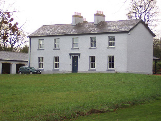 Portnashangan Househouse · 1419 yd
 OutlinedFairy fort / earthen ringfort · 1547 yd
 Lady's IslandWood · 1.0 mi
 CastleCastle, motte · 1.2 mi
 Srudarra IslandIslet · 1.3 mi
 Castle (in Ruins)Castle, tower house · 1.6 mi
 Saint Brigid's WellSpring · 1.8 mi
 United Nations War MemorialMemorial · 2.5 mi
Other information
Photo: Credit not shown in the picture search · Rights wording not checked; contact us if this picture should be removed