What is recorded here
Fairy fort / stone ringfort in Cullaun is a fairy fort or stone ringfort in Cullaun, County Tipperary, Ireland. It occupies a natural hillock in rolling pastureland among the Cullaun (Timoney) standing stones, where clay and stone built up the edge to create a level interior. A slightly oval area measuring 25.3 metres north to south and 28.8 metres east to west is defined by an eroded stone wall 1.5 metres wide, 0.4 metres high inside and 0.7 metres high outside. An entrance 2 metres wide in the east sector is now obscured by scrub and collapse, while ash and other trees grow within the interior.
Situated in rolling pastureland in the midst of Cullaun (Timoney) standing stones (TN018-015----). The site utilises a natural hillock which has been built up around the edge with clay faced with stone to form a level interior. A slightly oval area (diam. 25.3m N-S; 28.8m E-W) defined by a stone wall (Wth 1.5m; int. H 0.4m; ext. H 0.7m) which is quite eroded. Stones were probably robbed to repair or build surrounding stone walls which run close to the W and S of the site. An entrance (Wth 2m) noted in the E sector (Stout 1984, 55) has been obscured by scrub and collapse and there is no evidence of an outer fosse. A mixture of trees, including ash, grow in the interior. The site is not typical in this area. Although there is a lot of outcrop this is the only cashel. Possibly a landscape feature.
The above description is derived from 'The Archaeological Inventory of County Tipperary. Vol. 1 - North Tipperary' compiled by Jean Farrelly and Caimin O'Brien (Dublin: Stationery Office, 2002). In certain instances the entries have been revised and updated in the light of recent research.
Date of upload/revision: 22 September 2008
The monument record does not grant public access. Check the route and ask the landowner before entering private land.
- What survives
- Recorded monument
Places near here
 Fulacht fia in Cullaun,timoney HillsFulacht fia · 639 yd
 Enclosure in Timoney HillsEnclosure · 753 yd
 Timoney Parkcountry house · 1196 yd
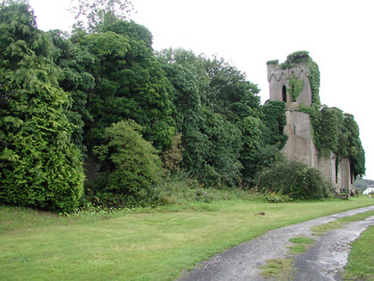
 Garrabaun Church (in ruins)Church · 1294 yd
 Carricknasrock WoodWood · 1.2 mi
 Black HillMountain / peak · 1.6 mi
 Rockforest Ho.Castle, unclassified · 1.7 mi
 Castle (in Ruins)Bawn · 2.1 mi
 European BeechEuropean Beech · 3.2 mi
 Saint Kieran's WellSpring · 4.4 mi
 Roscrea Petty Sessions HouseHeritage attraction · 4.8 mi
 Millennium GardenMemorial · 5.1 mi