What is recorded here
Fairy fort in Cullane Middle, County Limerick: a circular earthen enclosure about 39 metres across, still visible in aerial photographs. People called it a fairy fort because the shape appeared sudden and unowned, as if the ground had closed around a hidden room. It may have been a farmhouse defensible in bad years, a boundary marker, or a child’s climbing ring before roads and fields changed the townland. The earth kept its line while human names and uses came and went.
Outline of circular-shaped enclosure (approx. diam. 39m) visible on Google earth aerial imagery an on Digital Globe aerial photos.
See attached image taken from Google Earth aerial photographs taken 28/06/2018
Compiled by: Caimin O'Brien based on details provided by Jean-Charles Caillère
Date of upload: 10 March 2020
The monument record does not grant public access. Check the route and ask the landowner before entering private land.
- What survives
- Recorded monument
Places near here
 Enclosure in AhnagurraEnclosure · 1.4 mi
 Partially hachuredEarthwork · 1.4 mi
 Site of Castle, Castle FieldCastle, unclassified · 1.8 mi
 Site of CastleCastle, unclassified · 1.8 mi
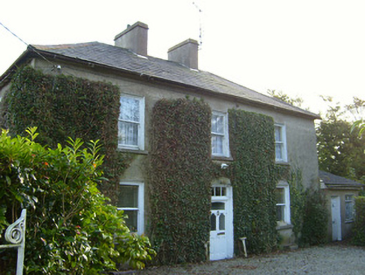 Glena Househouse · 1.9 mi
 Labbamolaga Church (in Ruins)Church · 2.0 mi
 Ballyarthur HillMountain / peak · 2.5 mi
 Paradise HillMountain / peak · 3.1 mi
 Combaun WoodsViewpoint · 3.8 mi
 Ballyhoura WayWalking route · 3.9 mi
 Palatine's RockNamed rock · 4.2 mi
 Kilclooney WoodWood · 4.2 mi