What is recorded here
Fairy fort / earthen ringfort in Cruicetown (kells Lower By.) stands as a raised circular and grass-covered area, diam. 28m E-W, defined by a scarp that is highest at NW, H 1.2m. It overlooks a small N-S stream where it turns E just north of the monument. The site lacks a visible fosse or clear entrance, though the southern edge appears least defined. This earthwork belongs to the ancient landscape of County Meath, preserving a shape that human hands or natural forces shaped long before modern mapping.
Located on a bluff overlooking a small N-S stream at a point where it turns E just N of the monument. It is not depicted on any map but is visible on aerial photographs (GSIAP: N 687, 688). It is a raised circular and grass-covered area (diam. 28m E-W) defined by a scarp that is highest at NW (H 1.2m). There is no indication of a fosse or of an entrance although the latter might have been at S where scarp is least discernible.
The above description is derived from the published 'Archaeological Inventory of County Meath' (Dublin: Stationery Office, 1987). In certain instances the entries have been revised and updated in the light of recent research.
Compiled by: Michael Moore
Date of revision: 5 September 2018
The monument record does not grant public access. Check the route and ask the landowner before entering private land.
- What survives
- Recorded monument
Places near here
 Kiln in Altmush (morgallion By.)Kiln · 843 yd
 Crannog in Altmush (morgallion By.),whitewoodCrannog · 1147 yd
 White WoodWood · 1280 yd
 LisdooFairy fort / earthen ringfort · 1653 yd
 GNR Christmas TreesForest · 1667 yd
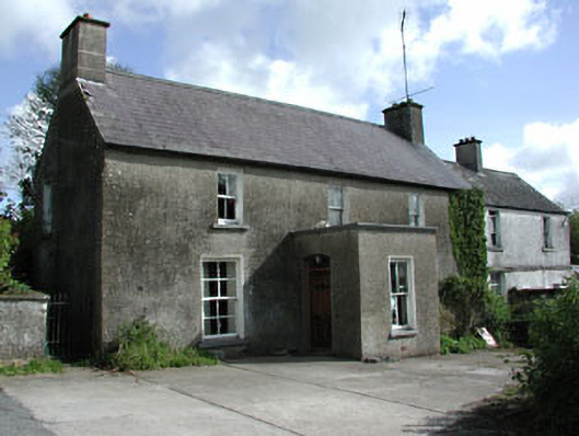 farm housefarm house · 1724 yd
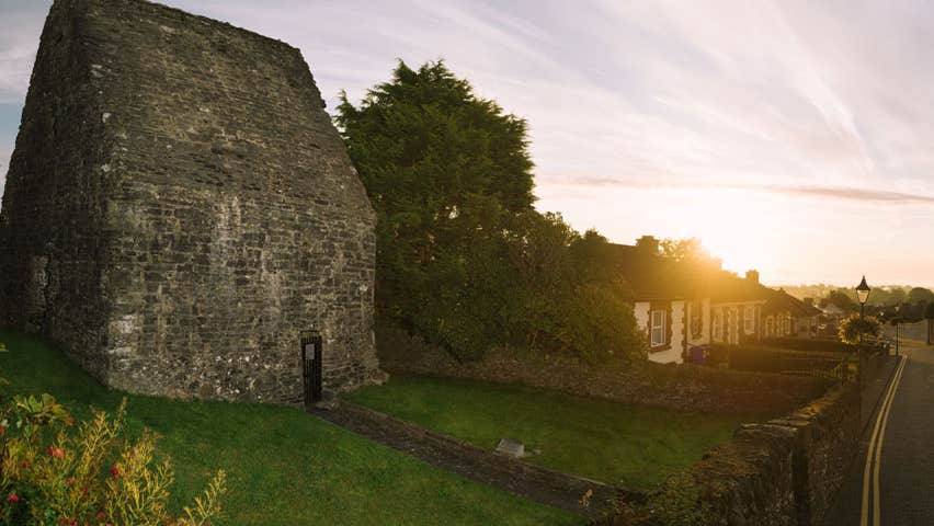 MoatCastle, motte and bailey · 1.6 mi
 Castkecome RuinsCastle, unclassified · 1.6 mi
 Gallows HillMountain / peak · 1.7 mi
 Nobber GreenwayMemorial · 2.2 mi
 UghtyneillMountain / peak · 2.5 mi
 Owenroe and Moynalty DrainageMemorial · 2.8 mi