What is recorded here
Located in a slight col on a N-S spur, and on the W road bank of a NNW-SSE road. It was described as the stone cross of Ballie Lis in the Civil Survey (1654-56) where it was a marker for the boundary of Gorey Barony and Killinhugh parish (Simington 1953, 3, 5). This is the head of a square-cut (dims. 22cm x 21cm) granite cross of Latin type protruding through road fence (visible H 0.6m; spread of arms 0.7m).
The above description is derived from the published 'Archaeological Inventory of County Wexford' (Dublin: Stationery Office, 1996). In certain instances the entries have been revised and updated in the light of recent research.
Compiled by: Michael Moore
Date of upload/revision: 1 February 2012
The monument record does not grant public access. Check the route and ask the landowner before entering private land.
- What survives
- Recorded monument
Places near here
 Monastery (Site of)Ecclesiastical site · 721 yd
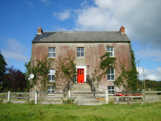 Monaseed Housefarm house · 1051 yd
 Embanked enclosureFairy fort / ringfort · 1132 yd
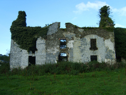 Buckstown Housefarm house · 1411 yd
 Craan HillMountain / peak · 1.7 mi
 Kilmichael HillMountain / peak · 1.7 mi
 Mountnebo WoodForest · 1.9 mi
 Ballingarry WoodForest · 3.3 mi
 Saint Brigid's WellSpring · 3.4 mi
 1798 MemorialMemorial · 3.5 mi
 CastleCastle, motte · 4.0 mi
 Blue SchoolMemorial · 4.6 mi