
What is recorded here
Marked only on the 1940 ed. of the OS 6-inch map, and situated towards the bottom of a W-facing slope, with a N-S stream c. 400m to the W. Nothing other than the map designation is known about the history and nature of the site, except that a stone lamp had been found here and forwarded to the NMI (OSFM 1940). No feature is visible at ground level in reclaimed pasture. Standing stone (WX005-004----) is c. 120m to the SSW.
The above description is derived from the published 'Archaeological Inventory of County Wexford' (Dublin: Stationery Office, 1996). In certain instances the entries have been revised and updated in the light of recent research.
Compiled by: Michael Moore
Date of upload/revision: 29 February 2012
Amended: 14 May, 2014
The monument record does not grant public access. Check the route and ask the landowner before entering private land.
- What survives
- Recorded monument
Places near here
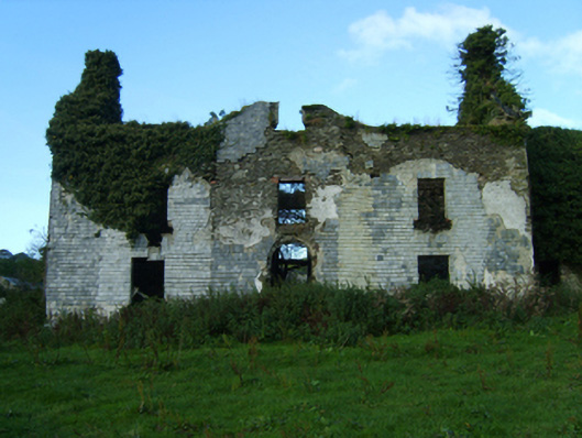 Buckstown Housefarm house · 690 yd
 Embanked enclosureFairy fort / ringfort · 1246 yd
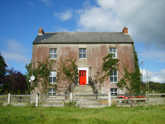 Monaseed Housefarm house · 1387 yd
 Fulacht fia in CummerFulacht fia · 1394 yd
 Craan HillMountain / peak · 1.8 mi
 Kilmichael HillMountain / peak · 1.9 mi
 Mountnebo WoodForest · 2.1 mi
 Saint Brigid's WellSpring · 3.1 mi
 Drimingall WoodForest · 3.3 mi
 1798 MemorialMemorial · 3.6 mi
 Blue SchoolMemorial · 4.3 mi
 CastleCastle, motte · 4.4 mi
Other information
Photo: Credit not shown in the picture search · Rights wording not checked; contact us if this picture should be removed