
What is recorded here
According to Kinahan (1879-88, 156) a mound of broken and burnt sandstone was just 30m S of a ring-cairn (WX002-044----) at Cummer. Its precise location is unknown, but it was close to a well called the Druids Well at what was then a concentrated settlement and is now developed as a farmyard. It was situated towards the top of a S-facing slope just down from a col between low hills c. 400m to the W and E and c. 40-50m higher than the col.
Compiled by: Michael Moore
Date of upload: 31 January, 2012
The monument record does not grant public access. Check the route and ask the landowner before entering private land.
- What survives
- Recorded monument
Places near here
 Embanked enclosureFairy fort / ringfort · 655 yd
 IndicatedFairy fort / earthen ringfort · 947 yd
 Cummer Valefarm house · 998 yd
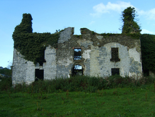 Buckstown Housefarm house · 1519 yd
 Annagh HillMountain / peak · 2.2 mi
 Craan HillMountain / peak · 2.5 mi
 Mountnebo WoodForest · 2.8 mi
 Drimingall WoodForest · 2.8 mi
 1798 MemorialMemorial · 2.9 mi
 Saint Brigid's WellSpring · 3.7 mi
 (Site of) Raymond CastleCastle, unclassified · 4.2 mi
 CastleCastle, motte · 4.4 mi
Other information
Photo: Credit not shown in the picture search · Rights wording not checked; contact us if this picture should be removed