What is recorded here
In the SE quadrant of Kilmacteige graveyard (SL036-021003-) and to S of the C of I church. A roughly rectangular red sandstone slab (3ft 4ins x 2ft x 3.5ins [1.01m x 0.6m x 0.09m]), with a cross on its surface, lies flat over a recent grave (pers. comm. W. Forbes). The cross is described by Herity, Kelly and Mattenberger (1997, 120), from a 1986 sketch by W. Forbes as a 'cross with expanded D-shaped terminals at the ends of the arms and central circular expansion at the head of the cross'. This cross-slab is now concealed by overgrowth but a photograph of it taken by M. A. Timoney confirms the design.
The above description is derived from the published 'Archaeological Inventory of County Sligo' compiled by Ursula Egan, Elizabeth Byrne, Mary Sleeman with Sheila Ronan and Connie Murphy (Dublin Stationery Office, 2005).
Date of upload: 18 January 2008
Probably dating to the early Christian period (5th–10th century), the cross-slab may have served as a gravestone or waymarker, reflecting Christian symbolism in a local funerary or ritual context. Such stones often had both religious significance and a role in territorial or path marking.
The monument record does not grant public access. Check the route and ask the landowner before entering private land.
- What survives
- Recorded monument
Places near here
 Church in KilmacteigeChurch · 29 yd
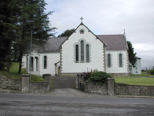 Catholic Church of Our Lady of the Rosarychurch/chapel · 64 yd
 Tober KeerannHoly well · 223 yd
 Indicated (1838).Fairy fort / earthen ringfort · 419 yd
 Castle (in Ruins)Castle, tower house · 1254 yd
 Castle Carragh in RuinsCastle, unclassified · 3.3 mi
 KnockasliggaunMountain / peak · 3.5 mi
 Lough Talt TrailVisitor information · 3.7 mi
 Largan HillMountain / peak · 4.5 mi
 Carrick WoodWood · 4.6 mi
 HawthornHawthorn · 5.1 mi
 Hennigan's Heritage CentreHeritage attraction · 5.2 mi