What is recorded here
Against the S wall of the chancel (WI003-028003-) are several cross-slabs; (WI003-028005-) a slab (H 1.14m) decorated with cup and ring marks and other ornamentation; (WI003-028006-) a slab (H 0.95m) with a Latin cross in shallow relief, circles at the top and arm ends, and semicircular curves in the space below the arms; (WI003-028007-) a small slab (H 0.49m) with a simple incised Latin cross. Also at this location is the head of a small Tau cross (WI003-028008-) (H 0.24m; T 0.15m; Wth across arms 0.49m) with a central boss on both faces (Harbison 1992, 128) and parts of the upper stones of two rotary querns. There is a granite cross-base (WI003-028001-) outside the S wall of the chancel (0.27m x 0.17m) but the head of another stone cross (WI003-028009-) formerly to the SW of the church (Ó Ríordáin 1947, 84) was removed to the National Museum of Ireland (Healy 2009, 97 (No.44)). Healy (2009, 84 (No. 21)) supplies a 1992 photograph of an erect slab with a central circular depression, girdled by a raised band with an apparently equal-armed cross above (WI003-028010-).
The above description is derived from the published 'Archaeological Inventory of County Wicklow' (Dublin: Stationery Office, 1997). In certain instances the entries have been revised and updated in the light of recent research.
Date of revision: 25 January 2013
Revised by: Claire Breen
Likely dating to the Early Christian period (5th–9th century AD), the cross-slab reflects a transition from prehistoric to Christian symbolism, possibly marking a burial or sacred site. Cup and ring marks on associated stones suggest earlier ritual or territorial significance, while the Latin cross indicates later Christian use or adaptation.
The monument record does not grant public access. Check the route and ask the landowner before entering private land.
- What survives
- Recorded monument
Places near here
 Cross (Base of)Cross · 6 yd
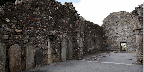 Ecclesiastical enclosure in KillegarEcclesiastical enclosure · 24 yd
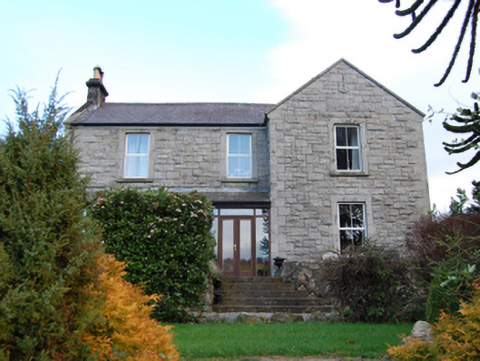 Scalp Farmfarm house · 1045 yd
 Annabaskey Church (in ruins)Church · 1170 yd
 The Bog MeadowWood · 1254 yd
 Barnaslingan HillMountain / peak · 1611 yd
 Barnaslingan - Pine loop trailWalking route · 1.0 mi
 Barnaslingan - Scalp Lookout TrailWalking route · 1.1 mi
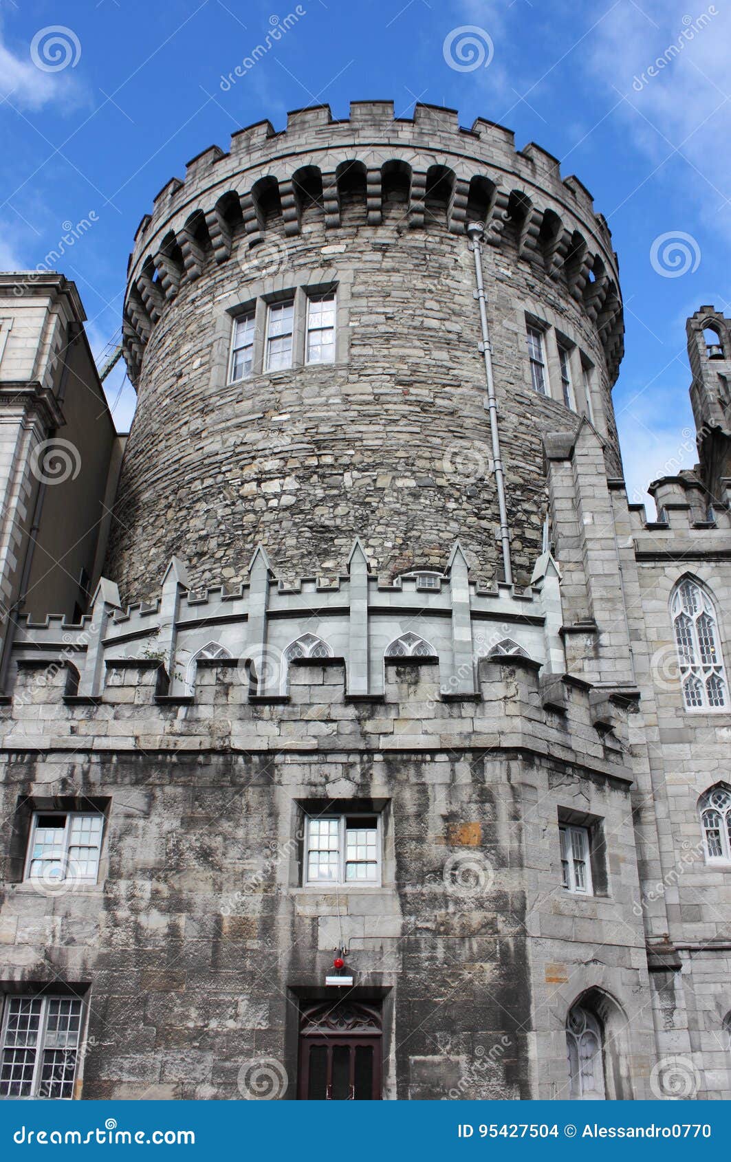 CastleCastle, tower house · 1.3 mi
 Carrickgollogan HillMountain / peak · 1.3 mi
 European BeechEuropean Beech · 1.3 mi
 Graveyard in BallymanGraveyard · 1.4 mi