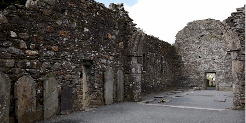
What is recorded here
A portion of the circular enclosure (diam. c. 50m) shown on the 1838 OS 6-inch map survives to the W of the graveyard (WI003-028002-). A much larger enclosure (dims. 80m N-S; 100m E-W) is defined by a curving earth and stone bank (Wth 2.5m; H 1m) from S (along the S line of the modern graveyard) to W. At the N and E this feature has been destroyed by quarrying.
The above description is derived from the published 'Archaeological Inventory of County Wicklow' (Dublin: Stationery Office, 1997). In certain instances the entries have been revised and updated in the light of recent research.
Date of upload/revision: 25 January 2013
A local fairy fort (ringfort/rath); wider significance not recorded.
This remains an important historical record, but the official description says the monument is no longer visible or has been destroyed. The monument record does not grant public access. Check the route and ask the landowner before entering private land.
- What survives
- No visible remains or recorded as destroyed
Places near here
 Cross (Base of)Cross · 24 yd
 Enclosure in KillegarEnclosure · 320 yd
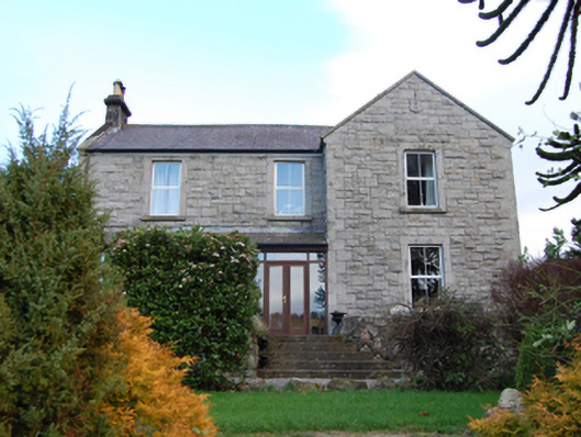 Scalp Farmfarm house · 1060 yd
 Annabaskey Church (in ruins)Church · 1193 yd
 The Bog MeadowWood · 1269 yd
 Barnaslingan HillMountain / peak · 1614 yd
 Barnaslingan - Pine loop trailWalking route · 1.0 mi
 Barnaslingan - Scalp Lookout TrailWalking route · 1.1 mi
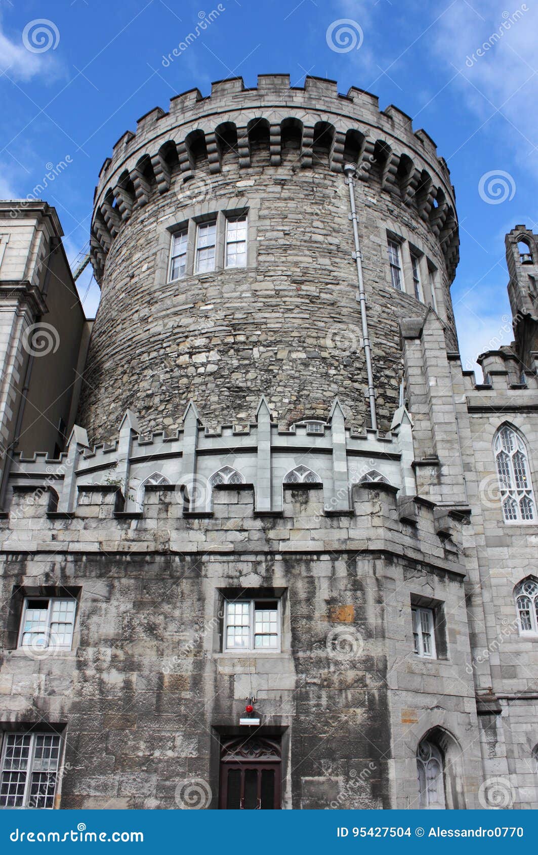 CastleCastle, tower house · 1.3 mi
 Carrickgollogan HillMountain / peak · 1.3 mi
 European BeechEuropean Beech · 1.4 mi
 Graveyard in BallymanGraveyard · 1.4 mi
Other information
Photo: Credit not shown in the picture search · Rights wording not checked; contact us if this picture should be removed