What is recorded here
Marked on 1841 edition of the OS 6-inch map as 'Foy Church (in Ruins)' but on 1910 edition as 'Site of'. Church (LA008-008-) located on top of the highest part of the graveyard (LA008-008001-). Simple incised cross-slab in roadside ditch opposite entrance to graveyard (JKAS 1904, Vol. IV, 193).
Compiled by: Caimin O'Brien
Date of upload: 17 December 2007
Probably dating to the early medieval period, this cross-inscribed stone may have served as a Christian memorial or waymarker. Its placement within a former churchyard suggests a liturgical or commemorative function, though specific folklore or prehistoric use is not recorded.
The monument record does not grant public access. Check the route and ask the landowner before entering private land.
- What survives
- Recorded monument
Places near here
 Ivy Church (Site of)Church · 56 yd
 Enclosure in AcragarEnclosure · 351 yd
 Friary (in Ruins) GraveyardReligious house, unclassified · 1.0 mi
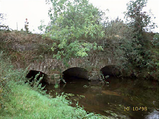 aqueductaqueduct · 1.4 mi
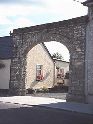 Hibernia Foundrybuilding misc · 1.4 mi
 Tinnakill Castle (in Ruins)Castle, tower house · 3.0 mi
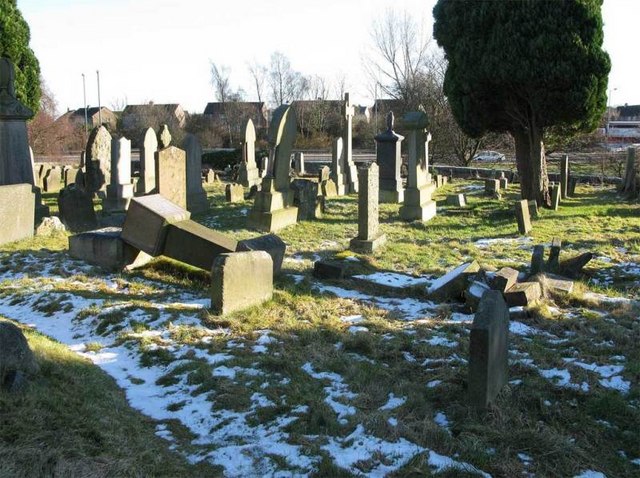 Church (in Ruins), GraveyardChurch · 3.1 mi
 Clonreher CastleCastle · 3.2 mi
 Derryisheen WoodWood · 3.3 mi
 Pedunculate OakPedunculate Oak · 4.4 mi
 Emo CourtHeritage attraction · 4.4 mi
 Rock of DunamaseCastle · 5.9 mi