What is recorded here
Indicated is a sub-rectangular enclosure on a SE-facing slope in County Cork, Ireland, where stone-faced earthen banks still mark the edge of a forgotten interior. Power recorded a bi-vallate ringfort there in 1918, but the outer bank had already been levelled to four feet, suggesting the site gave up its shape long before measurement arrived. The remaining banks cut into the middle like abandoned ribs, enclosing only the eastern quadrant while the rest dissolves into pasture. What lived inside may have been a household, a shrine or a boundary dispute made flesh; the stones no longer answer that question.
In pasture on SE-facing slope. Sub-rectangular area (101.7m N-S; 91.9m E-W) defined by stone-faced earthen bank NE->SE and S->N; low visible traces of levelled bank elsewhere. Interior level; earthen banks running into interior (38.7m NE-SW; 53.6m NW-SE), partially stone-faced at W side, enclose E quadrant. Power (1918, 171) records bi-vallate ringfort here with levelled outer bank (4ft).
The above description is derived from the published 'Archaeological Inventory of County Cork. Volume 2: East and South Cork' (Dublin: Stationery Office, 1994). In certain instances the entries have been revised and updated in the light of recent research.
Date of upload/revision: 14 January 2009
The monument record does not grant public access. Check the route and ask the landowner before entering private land.
- What survives
- Recorded monument
Places near here
 Enclosure in HightownEnclosure · 893 yd
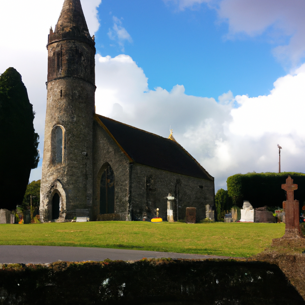 Killamurren Church (Site of)Church · 1160 yd
 Devonshire's HillMountain / peak · 1.1 mi
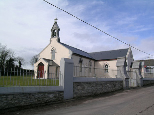 Saint Bartholomew's Churchchurch/chapel · 1.1 mi
 Monananig WoodsWood · 1.2 mi
 Rathcormac massacremassacre · 1.2 mi
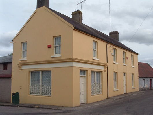 post officepost office · 1.2 mi
 Tower (in Ruins)Bawn · 2.4 mi
 Moanbaun ForestForest · 2.6 mi
 Court (site of )Castle, unclassified · 2.9 mi
 Gleeson MemorialMemorial · 6.0 mi
 Cork WalksVisitor information · 12 mi