What is recorded here
Killala Bay erases the neck of that headland at high tide, transforming the oval knoll into a lonely island where a degraded earthen bank still marks a forgotten boundary. The fort faces the gentle slope and open water, suggesting its occupants valued warning over surprise. Other raths scatter nearby, creating a small coastal cluster rather than a single isolated curiosity. The sea remains the active witness, tightening and releasing the land while human urgency fades beneath grass and salt.
In pasture, encompasses the flat top of an oval knoll (H c. 3m), located c. 10m from the shore on a small headland projecting into the SW side of Killala Bay. The headland becomes an island at high tide when the narrow neck of wet ground connecting it to the mainland is submerged. The location provides widespread view over the bay NE−SE, and of the surrounding undulating coastal pastureland SW−N.
A roughly oval area (17m NW–SE; 13.6m NE–SW) defined by the low remnants of a bank (Wth c. 2m; int. H 0.3m; ext. H 1.4m) at NW–N, reduced elsewhere to an earthen scarp. The scarp is well defined at S-NW, but is quite degraded at NNE-SE, with much stone randomly protruding from it. The entrance may have been at NNE where there is a low area in the bank, facing the most gently sloping side of the knoll. The interior has a slight slope down from centre to NE; it is grassy and featureless.
There is another rath (MA015-053----) located 60m to W on the same headland. A cluster of three other raths (MA015-050----; MA015-051----; MA015-052----) is located c. 300m to NW–N.
Compiled by: Jane O’Shaughnessy
Date of upload: 7 December 2018
A fairy fort or earthen ringfort on Croghan, likely dating to the early medieval period, is situated on a tidal headland overlooking Killala Bay. Local tradition associates such sites with fairy activity, and similar forts in the region are often linked to legends of hidden otherworldly inhabitants.
The monument record does not grant public access. Check the route and ask the landowner before entering private land.
- What survives
- Recorded monument
Places near here
 IndicatedFairy fort / earthen ringfort · 389 yd
 RathmoreFairy fort / earthen ringfort · 534 yd
 Green IslandIslet · 579 yd
 Rinnaun PointHeadland · 605 yd
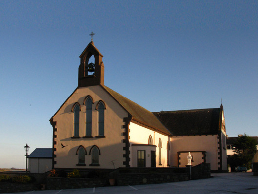 Saint Patrick's Catholic Churchchurch/chapel · 965 yd
 The Old Deaneryrectory/glebe/vicarage/curate's house · 1100 yd
 Battle of Killalabattle · 1192 yd
 CastleCastle, unclassified · 1225 yd
 Bawn in Meelick (tirawley By.)Bawn · 1.3 mi
 Battlefields of MoyneBattlefield · 1.4 mi
 Bartragh IslandIsland · 1.9 mi
 Moyne AbbeyHeritage attraction · 2.0 mi