What is recorded here
Hearth in Croaghonagh marks a Neolithic firing place beneath a later cairn on the Lough Mourne ridge. Charcoal from hazel and flint tools recovered from its clay spread show that people gathered here to heat, cut or shape before stone was set above them. The hearth is not a passing fire; it is the buried base on which the visible monument was built.
These hearths underlay the foundation levels of a Neolithic cairn (DG086-002001-), located on a low ridge at the NE end of Lough Mourne. They were discovered and fully excavated in 2011 during an archaeological excavation at the cairn undertaken in advance of the proposed development of a dam at Lough Mourne (Delaney 2013).
The hearths consisted of a cluster of charcoal spreads, shallow pits and a clay spread. A charcoal sample (hazel) from one hearth produced a C14 date of 3783-3659 BC (UBA 19994), and a sample from a second hearth produced a date of 3783-3659 (dates calibrated to two sigma). Six Neolithic flint artefacts, a single convex end scraper, a large retouched blade, and 4 flake fragments, were recovered from the clay spread. The hearths point to a phase of Neolithic activity on this low ridge that predates the construction of the cairn. (Delaney 2013, 8-9).
The excavation also uncovered several other monuments in close proximity to the Neolithic cairn (DG086-002001-), including a burnt spread (DG086-002005-), a pit (DG086-002006-), and a fulacht fia (DG086-002007-), all indicating that this location continued to be an important focus of activity throughout the Bronze Age. (Delaney 2013).
Compiled by: Jane O'Shaughnessy
Date of upload: 16 January 2018
The monument record does not grant public access. Check the route and ask the landowner before entering private land.
- What survives
- Recorded monument
Places near here
 Lough HillMountain / peak · 1013 yd
 Not indictedHilltop enclosure · 1.0 mi
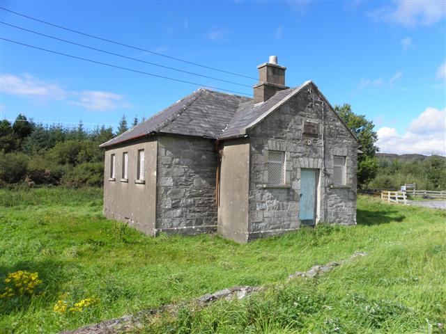 Meencarrigach National Schoolschool · 1.5 mi
 bridgebridge · 2.0 mi
 Enclosure in TruskEnclosure · 2.5 mi
 Cross HillMountain / peak · 3.6 mi
 Drumboe WoodForest recreation place · 5.0 mi
 Killeter ForestForest · 5.5 mi
 Ard na Mona WoodOfficial walking route · 7.9 mi
 Old CastleCastle, tower house · 8.7 mi
 Bulls IslandIslet · 9.8 mi
 Saints IslandIsland · 10.0 mi