What is recorded here
Fairy fort / ringfort in Creggy is a fairy fort or ringfort in Creggy, County Westmeath, Ireland. The site has no visible surface remains, though a curving townland boundary on the west side appears to follow the line of an enclosing element for an enclosure approximately forty metres in diameter. A possible outline of a levelled enclosure is visible on a Digital Globe aerial photograph, but no monument was indicated at this location on any edition of the Ordnance Survey six-inch map.
No surface remains visible. Annotated ‘fort’ in pencil on OPW OS six-inch field map. Curving townland boundary of Lisdossan appears to follow line of enclosing element of enclosure (approx. diam. 40m)on W side of monument. Possible outline of levelled enclosure visible on Digital Globe aerial photograph. No monument indicated at this location on any ed. OS 6-inch map.
Compiled by: Frank Coyne and Caimin O'Brien
Date of upload: 13 September 2018
The monument record does not grant public access. Check the route and ask the landowner before entering private land.
- What survives
- Recorded monument
Places near here
 CrossMass-rock · 614 yd
 OutlinedEnclosure · 809 yd
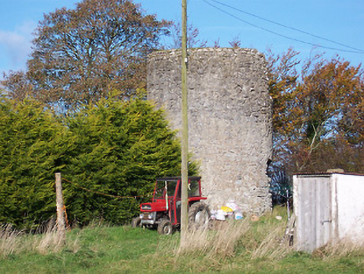 mill (wind)mill (wind) · 1006 yd
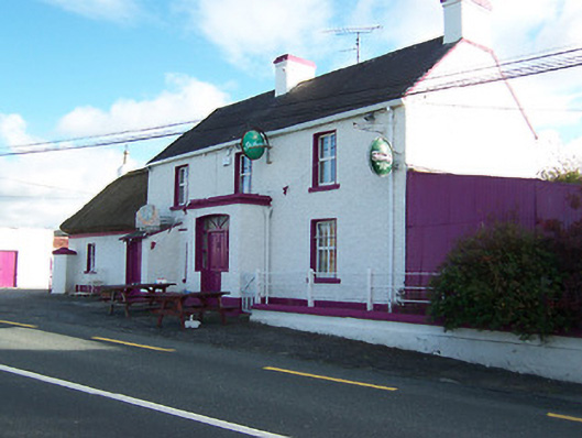 Three Jolly Pigeonshouse · 1093 yd
 Bawn in Cannorstown (hogan)Bawn · 1610 yd
 Noughaval CemeteryArchaeological place · 1.4 mi
 CastleCastle, motte and bailey · 1.8 mi
 European BeechEuropean Beech · 2.2 mi
 Leveret IslandIslet · 3.7 mi
 InchbofinIslet · 4.5 mi
 Killinure BayBay · 4.8 mi
 Target WoodWood · 4.8 mi