What is recorded here
Fairy fort / earthen ringfort in Crawhill is a fairy fort or earthen ringfort in Crawhill, County Sligo, Ireland. It occupies pasture at the top of a low east-facing slope and a road bend. A raised circular area measures about 24.8 by 23.6 metres inside an earthen bank that is 2.6 metres wide. The bank is missing along the eastern arc, where a shallow external ditch remains visible beside the uneven interior.
In pasture, at the top of a low E-facing slope and at a bend in a road. A raised circular area (int. diam. 24.8m x 23.6m) defined by an earthen bank (Wth 2.6m; int. H 0.5m; ext. H 1.05m) and overgrown with bushes and trees. The bank is removed along the E arc where a silted-up external fosse (Wth 2.5m; D 0.2m) is evident. The interior is uneven.
The above description is derived from the published 'Archaeological Inventory of County Sligo' compiled by Ursula Egan, Elizabeth Byrne, Mary Sleeman with Sheila Ronan and Connie Murphy (Dublin Stationery Office, 2005).
Date of upload: 18 January 2008
The monument record does not grant public access. Check the route and ask the landowner before entering private land.
- What survives
- Recorded monument
Places near here
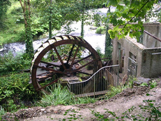 hydroelectric power stationhydroelectric power station · 500 yd
 Foyoges Bridgebridge · 522 yd
 Ritual siteRitual site, holy/saint's stone · 599 yd
 IndicatedEnclosure · 1528 yd
 Geevagh Prisoners 1908 MemorialMemorial · 1613 yd
 Tobar Ailbhe Holy WellMemorial · 1.5 mi
 Roundhouse Hill WoodForest · 2.4 mi
 Green IslandIslet · 2.5 mi
 Black WoodForest · 2.5 mi
 Carrane HillCliff · 2.9 mi
 Barroe NorthMountain / peak · 2.9 mi
 Stony IslandIslet · 3.3 mi