
What is recorded here
Ten thousand years of repeated fire still warm the buried ash at Lough Kinale. People built shallow causeways from small stones and returned often enough to leave several generations of hearths beside a little knoll. The lake does not advertise the work; it keeps the shapes of hands that made living possible on its changing edge.
On the shore of Lough Kinale. One of three 'crannogs' (see also LF011-065002- and LF011-081----) recorded by Raftery at Lough Kinale in May 1969 (NMI Topgraphical File). A small rounded knoll (diam. c. 5m) rising 0.4m above the lakeshore, inspected in 2001, was considered as possibly being Raftery’s ‘Kinale 2’ (Fredengren et al. 2010, 137) and connected with the Mesolithic assemblage (LF011-066001-). A number of lithics were found in 2002 just a little to the west of this feature at the shore edges. Excavations of this area in 2003 and 2004 also included the small knoll and two causeway-like features, c. 16m apart, represented by ‘arms’ of compressed soil that stretched out into the waters from an earlier shoreline. The E causeway measured 21.3m in length and 5–6.3m in width, while the western one measured 18.3m in length and 6m in width. The excavations revealed layers of gravel, wood, peat, charcoal and ashes and that the two arms had been constructed by placing small stones on linear natural rises in the lake-bed. Associated with these structures were numerous late Mesolithic artifacts. At lower levels the edges of the site consisted of brushwood and worked timbers. Radiocarbon dates have confirmed a Mesolithic occupation that included the numerous ash spreads and hearths. This demonstrated that fires had been burned here on numerous occasions and that it had been returned to many times (Fredengren 2006; 2007; Fredengren et al. 2010, 137 8, Area B)
Compiled by: Christina Fredengren, Paul Walsh
Date of upload: 13 January 2013
The monument record does not grant public access. Check the route and ask the landowner before entering private land.
- What survives
- Recorded monument
Places near here
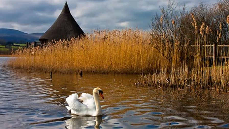 Crannog in DerraghCrannog · 336 yd
 Crannog in Lough KinaleCrannog · 360 yd
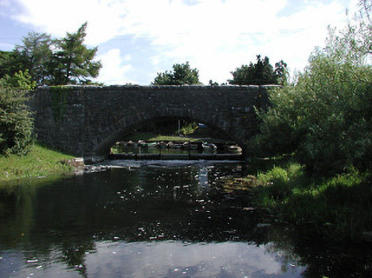 Finnea Bridgebridge · 1479 yd
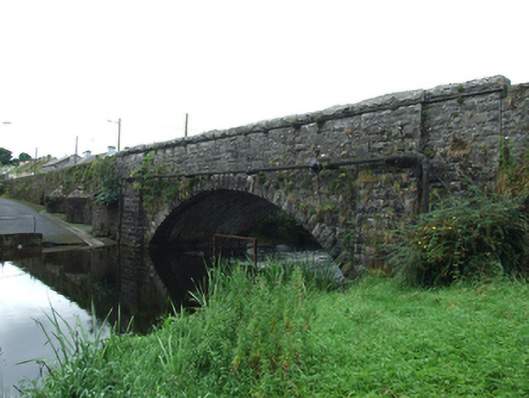 Finea Bridgebridge · 1480 yd
 CarrickMountain / peak · 1.5 mi
 Watty's RocksIslet · 1.7 mi
 CarrickabaneMountain / peak · 1.9 mi
 Sporting RockIslet · 1.9 mi
 Carrick RockWood · 2.2 mi
 Togher CastleCastle · 2.3 mi
 Moynagh Upper ForestForest · 2.6 mi
 Bakers FortCastle, ringwork · 3.5 mi
Other information
Photo: Credit not shown in the picture search · Rights wording not checked; contact us if this picture should be removed