What is recorded here
Cow Island is a large irregular crannog in Lough Ramor, County Cavan, sitting about 70m from the shoreline. Davies recorded rectangular hut foundations on its central mound, which rises 3.5m above the lake. That much structure suggests people lived there, worked there, and shaped the island rather than merely visiting it.
Large irregularly shaped island (dims. c. 70m NW-SE; c. 50m NW-SW) in Lough Ramor, c. 70m from the shoreline. Davies (ITA Survey 1940) recorded foundations of a rectangular hut on the central mound which is c. 3.5m above the water-level of the lake.
The above description is derived from the published 'Archaeological Inventory of County Cavan' (Dublin: Stationery Office, 1995). In certain instances the entries have been revised and updated in the light of recent research.
Date of upload/revision: 22 December 2008
The monument record does not grant public access. Check the route and ask the landowner before entering private land.
- What survives
- Recorded monument
Places near here
 Cow and Knockatemple IslandIslet · 41 yd
 Knockatemple WoodlandWood · 319 yd
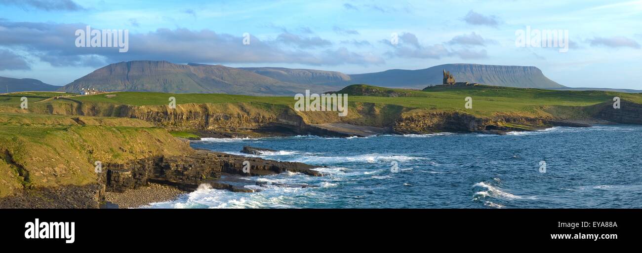 Scrabby IslandIslet · 393 yd
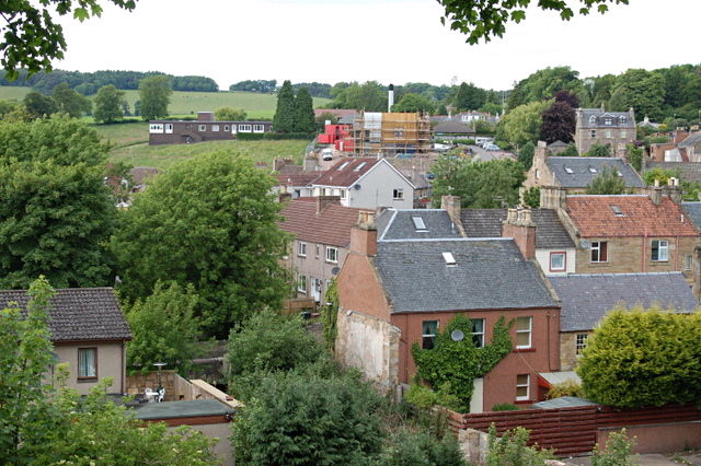 MoatCastle, motte and bailey · 800 yd
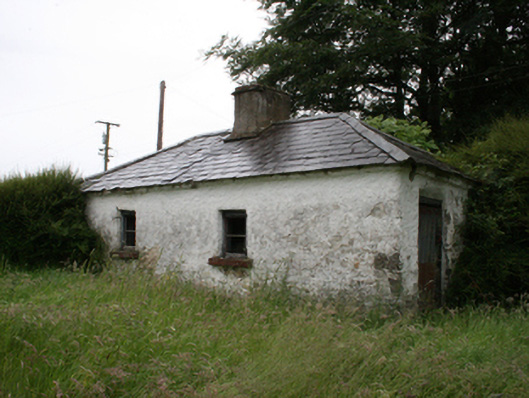 Lake View Househouse · 902 yd
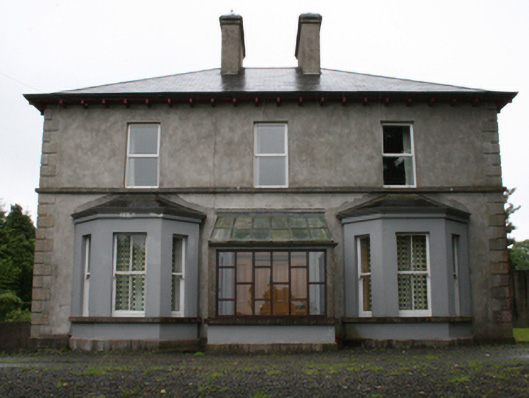 rectory/glebe/vicarage/curate's houserectory/glebe/vicarage/curate's house · 1188 yd
 IndicatedFairy fort / stone ringfort · 1563 yd
 Deerpark ForestForest · 1.0 mi
 Mass-rock in KnocknagartanMass-rock · 1.2 mi
 Welcome to VirginiaVisitor information · 1.3 mi
 Virginia Handball ClubMemorial · 1.5 mi
 Ramor Aontaithe C.L.G. Dolan ParkMemorial · 1.5 mi