What is recorded here
No visible castle walls exist because ordinary Castle Bay residents still recognise the hidden chamber beneath the water. That is why the area remains unusual: the absent structure is the whole attraction.
Internal diam. 29m
This subcircular, univallate rath is located directly E of the village of Coumduffmore, on a SE facing slope overlooking Dromavally Bog to E. The earthen enclosing bank is c. 2m high externally, 1.5m high internally and c. 3m wide. The SE facing entrance is 1.7m wide. One side of the latter is defined by a large, upright slab, and a 2nd slab, now collapsed, may also have been a jamb stone. There are several low mounds in the N part of the interior but they do not appear to form any recognisable feature.
The above description is derived from J. Cuppage, ‘Corca Dhuibhne. Dingle Peninsula archaeological survey. Ballyferriter. Oidhreacht Chorca Dhuibhne’ (1986), no. 372. In certain instances the entries have been revised and updated in the light of recent research.
Date of upload: 6 August 2013
The monument record does not grant public access. Check the route and ask the landowner before entering private land.
- What survives
- Recorded monument
Places near here
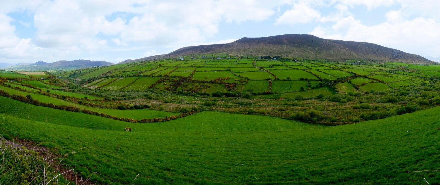 Man-made underground passage in CoumduffMan-made underground passage · 647 yd
 Ecclesiastical site in CoumduffEcclesiastical site · 669 yd
 Church in AnnagapChurch · 1376 yd
 Graveyard in BallynacourtyGraveyard · 1379 yd
 Church in FarrannacarrigaChurch · 1.4 mi
 Statue of Our LadyHeritage attraction · 1.4 mi
 Jerome ConnorMemorial · 1.4 mi
 Knockmulanane West TopMountain / peak · 1.8 mi
 Cnoc na BánóigeMountain / peak · 2.4 mi
 Bunaneer StrandBeach / strand · 2.4 mi
 Glanteenassig Forest ParkForest · 2.6 mi
 Acres PointHeadland · 3.4 mi