What is recorded here
Situated on a slight natural rise in gently undulating pasture-land. Ringfort (WM006-042---) 60m to NW. Depicted as a circular enclosure on the 1837 ed. OS 6-inch map (approx. diam. 30m E-W), the S half of this monument has been levelled, visible only as a dark band of vegetation (Wth 5m). All that remains is a poorly preserved earthen bank from W-N-NE where it survives incorporated into a post-1700 field fence which curves around the N quadrant of the monument. The slightly raised interior slopes slightly from E-W.
Compiled by: Frank Coyne & Caimin O'Brien
Date of upload: 31 January 2017
The monument record does not grant public access. Check the route and ask the landowner before entering private land.
- What survives
- Recorded monument
Places near here
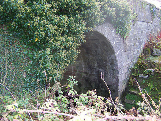 Ardglass Bridgebridge · 282 yd
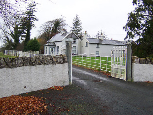 Fairy Hallhouse · 1018 yd
 Partially hachuredEnclosure · 1103 yd
 OutlinedBawn · 1485 yd
 Site of CastleCastle, unclassified · 1.3 mi
 Ecclesiastical enclosure in RathaspickEcclesiastical enclosure · 1.4 mi
 Sweet ChestnutSweet Chestnut · 1.8 mi
 Horse-chestnutHorse-chestnut · 2.0 mi
 Edgeworthstown BypassMemorial · 5.7 mi
 Granard MotteMotte-and-bailey castle remains · 9.9 mi
 1798 Monumentmonument · 10.0 mi
 Rock of CurryCliff · 10 mi