What is recorded here
In pasture. Raised circular area (dims. c. 26m N-S; c. 20m E-W) defined by scarp (H c. 1.4m) and external fosse (Wth c. 3-5.4m; D c. 0.4m). Interior inaccessible due to impenetrable vegetation. Enclosure (TS067-013002-) c. 120m to ENE and possible field system c. 110m to NE.
Compiled by: Jean Farrelly
Date of upload: 26 August 2011
The monument record does not grant public access. Check the route and ask the landowner before entering private land.
- What survives
- Recorded monument
Places near here
 Site of Corroge ChurchChurch · 815 yd
 Sunday WellHoly well · 896 yd
 CastleCastle, ringwork · 1077 yd
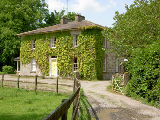 Wolfsden Househouse · 1479 yd
 I.R.A. 3rd. Tipperary Brigade MemorialMemorial · 1708 yd
 Garranacanty MoatCastle, motte · 1.0 mi
 Kilshane Churchchurch/chapel · 1.1 mi
 European ashEuropean ash · 1.1 mi
 It's a long way to TippereryHeritage attraction · 1.6 mi
 The Maid of ErinMemorial · 1.7 mi
 The RockViewpoint · 2.8 mi
 Christ the KingViewpoint · 3.5 mi