What is recorded here
The fairy fort or earthen ringfort in Correagh (moycashel By.) is in County Westmeath, Ireland. This roughly circular area, measured at 45 metres north to south, was described in 1973 as enclosed by a low earth and stone bank with traces of a shallow external fosse and no indication of an entrance. A large rock protrudes from the even surface in the north quadrant, and the site is situated on gently rising ground that offers good views of the surrounding landscape. It appears as an oval-shaped tree-planted earthwork on Digital Globe aerial photography, while a separate ringfort lies approximately 120 metres to the southwest.
Situated on gently rising ground with good views of the surrounding landscape. Ringfort (WM037-006----) lies c. 120m to SW. No antiquity shown at this location on the first ed. OS 6-inch map but depicted as an oval-shaped enclosure on the revised 1910 ed. OS 25-inch map. Monument described in 1973 as a roughly circular-shaped area (dims. 45m N-S) enclosed by a low earth and stone bank with traces of a shallow external fosse, no indication of an entrance. The interior is fairly even and a large rock protrudes from the surface in the N quadrant. Monument is visible today as an oval-shaped tree-planted earthwork on Digital Globe aerial photography.
See attached profile of monument surveyed and drawn by the ASI.
Compiled by Alison McQueen, Vera Rahilly and Caimin O’Brien.
Date of upload: 16 December 2019
The monument record does not grant public access. Check the route and ask the landowner before entering private land.
- What survives
- Recorded monument
Places near here
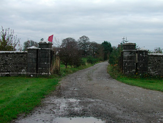 Correagh Cottagegates/railings/walls · 469 yd
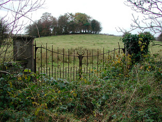 gates/railings/wallsgates/railings/walls · 1120 yd
 Enclosure in BallykilcrossEnclosure · 1404 yd
 Bawn in CoolaloughBawn · 1617 yd
 Partially hachuredFairy fort / earthen ringfort · 1.3 mi
 CastleCastle, unclassified · 1.3 mi
 Kilmalady HillMountain / peak · 1.4 mi
 Chapel HillForest · 2.9 mi
 High WoodWood · 3.3 mi
 St. Columba's WellSpring · 3.7 mi
 ToberaskeenSpring · 4.1 mi
 Roughan HillMountain / peak · 4.4 mi
Other information
Photo: Credit not shown in the picture search · Rights wording not checked; contact us if this picture should be removed