What is recorded here
Situated on a slight rise in a fairly level landscape. Archaeological testing (02E1812) identified two spreads of burnt mound material (Hayden 2006), which were subsequently fully resolved (Hayden 2006a) under a different licence (03E0169). This mound was a thin spread of broken and burnt stone (diam. 5.5m; T < 0.1m) with pits extending over a wider area (dims c. 10m x. c. 8m). A pit (dims 2.75m x 1.7m; max. D 0.7m) at the SE corner of the excavated area had a fill of redeposited subsoil over burnt mound material and silt, and it was cut by two smaller pits, but c. 4m W was a rectangular pit (dims 1.4m x 1.1m; D 0.6m) which cut a second pit (dims 1.6m x 0.8m; max. D 0.7m) that had burnt mound material at the base. Just to the N two pits (dims 1.8m x 1.4m; max. D 0.3m: 1m x 0.65m D 0.5m) were filled with broken and burnt stone, and there were four post-holes in two pairs 1.75m apart at the N edge of the excavated area. One perfect leaf-shaped arrowhead was recovered from the plough-soil. (Hayden 2003, 2003aa, 2-4)
Compiled by: Michael Moore
Date of upload: 8 July, 2019
Burnt mound, likely dating to the Neolithic or Bronze Age. Its significance lies in providing evidence of ritual or industrial activity, typical of such features in prehistoric landscapes.
The monument record does not grant public access. Check the route and ask the landowner before entering private land.
- What survives
- Recorded monument
Places near here
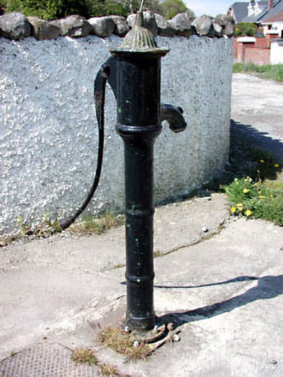 water pumpwater pump · 418 yd
 St. Patricks WellHoly well · 747 yd
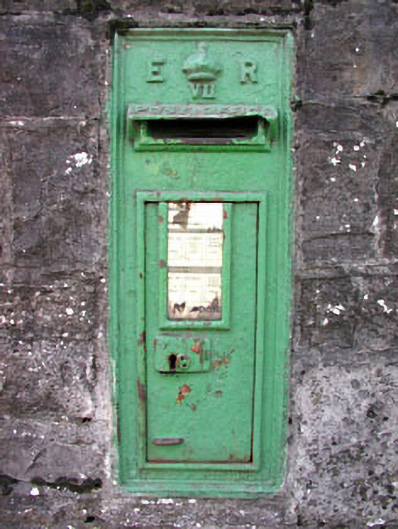 post boxpost box · 918 yd
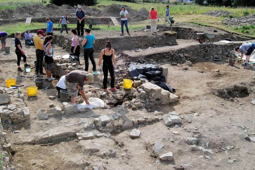 The Blackfriary Community Heritage and Archaeology ProjectArchaeological place · 993 yd
 CastleCastle, hall-house · 1375 yd
 Trim CastleCastle, Anglo-Norman masonry castle · 1434 yd
 Wych ElmWych Elm · 3.9 mi
 Small-leaved ElmSmall-leaved Elm · 3.9 mi
 Battle of Tara (Ireland)Major battlefield · 7.9 mi
 Battle of Tara Hillbattle · 7.9 mi
 Saint Patrick'sMemorial · 7.9 mi
 Hill of TaraVisitor information · 8.0 mi