What is recorded here
No visible wall remains on the NW-SE ridge in Cornagarvoge, yet the 1834 map still draws a thirty-metre circular fort in gothic lettering. The earth has swallowed the embankment, leaving pasture where a boundary once stood. A burial recovered nearby suggests the ridge still holds dead people, even when the living shape has vanished.
Located on a NW-SE ridge. An embanked circular enclosure (ext. diam. c. 30m) is depicted on the 1834 edition of the OS 6-inch map where it is described in gothic lettering as a ‘fort’. No archaeological feature is visible at ground level in pasture, but a burial (MO032-010002-) was recovered in the vicinity.
The above description is derived from the published 'Archaeological Inventory of County Monaghan' (Dublin: Stationery Office, 1986). In certain instances the entries have been revised and updated in the light of recent research.
Date of revision: 17 July 2017
The monument record does not grant public access. Check the route and ask the landowner before entering private land.
- What survives
- Recorded monument
Places near here
 Pit-burial in CornagarvogePit-burial · 6 yd
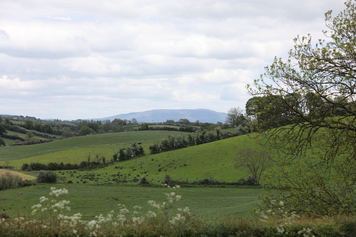 LisawollyFairy fort / earthen ringfort · 776 yd
 bridgebridge · 1534 yd
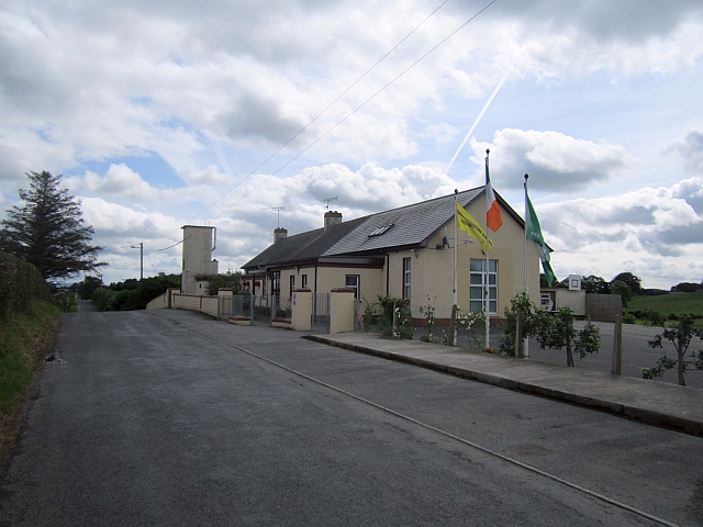 Stonetown National Schoolschool · 1.1 mi
 CastleCastle, unclassified · 1.1 mi
:no_upscale()/cdn.vox-cdn.com/uploads/chorus_asset/file/25593391/County_Louth_6th.jpg) LouthMountain / peak · 3.5 mi
LouthMountain / peak · 3.5 mi Mount AshCastle, motte · 3.5 mi
 Flat cemetery in AnnaheanFlat cemetery · 4.7 mi
 Ballsmill Amenity LandPicnic place · 7.1 mi
 Sky HillMountain / peak · 7.1 mi
 Photo GalleryHeritage attraction · 7.6 mi
 Dundalk CentralHeritage attraction · 7.6 mi