What is recorded here
Not visible at ground level. Not marked on first two editions of the OS 6-inch maps.
The above description is derived from the published 'Archaeological Inventory of County Offaly' (Dublin: Stationery Office, 1997). In certain instances the entries have been revised and updated in the light of recent research.
Date of upload: 23 May 2011
The monument record does not grant public access. Check the route and ask the landowner before entering private land.
- What survives
- Recorded monument
Places near here
 Enclosure in GortnamuckEnclosure · 738 yd
 Mound in MoneyMound · 1226 yd
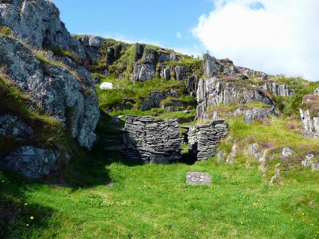 Saint Cormac's WellSpring · 1.3 mi
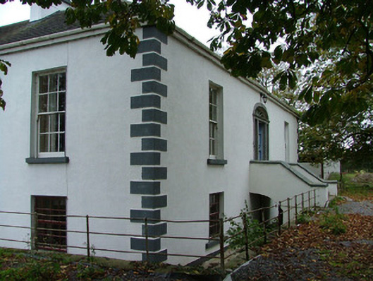 Annaghvillacountry house · 1.4 mi
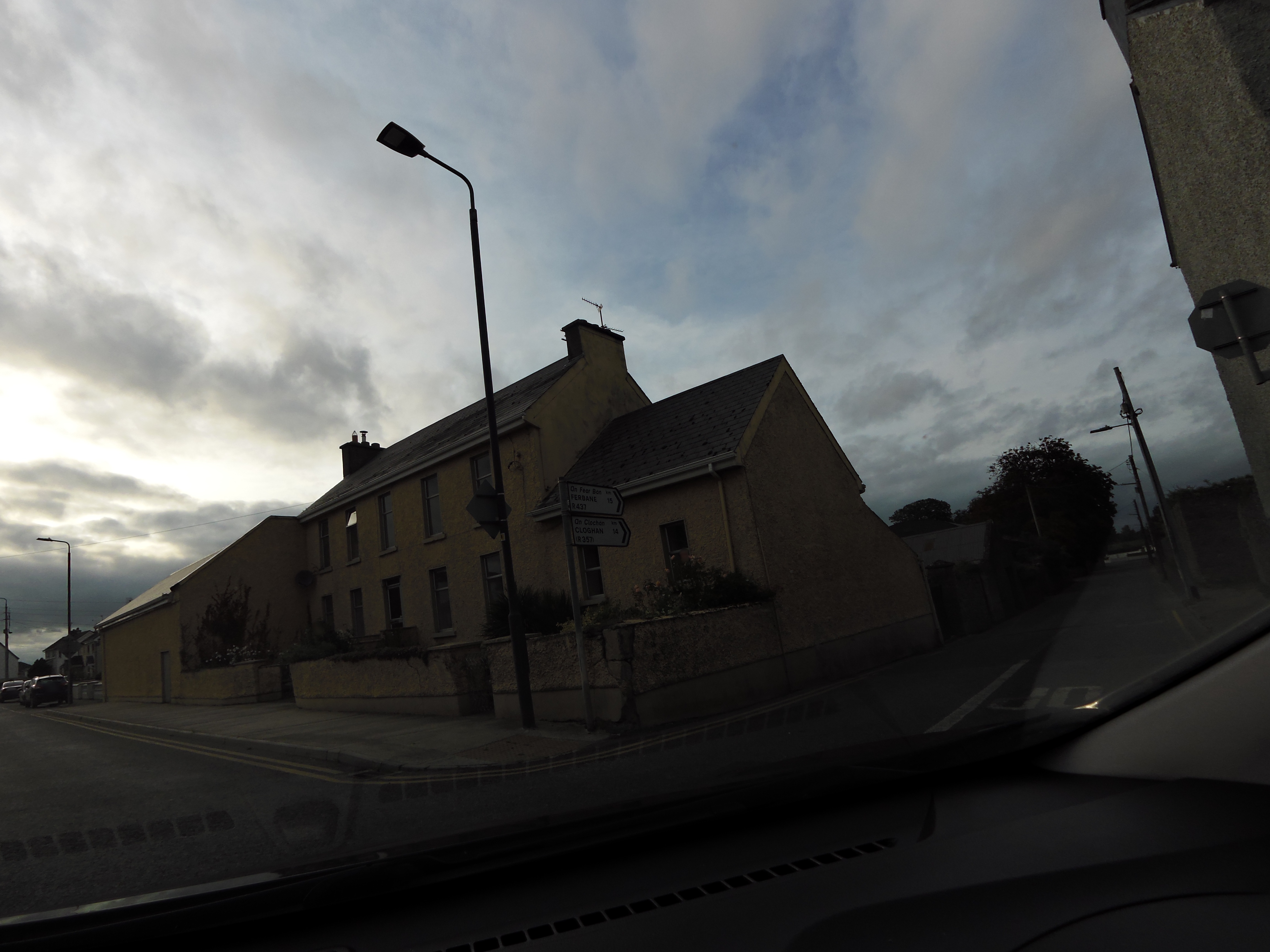 Kilcormac Garda Síochána Stationcourt house · 1.7 mi
 OutlinedCastle, unclassified · 1.7 mi
 Arthur's WellSpring · 1.8 mi
 Broughal CastleCastle, unclassified · 2.0 mi
 Beach ClumpWood · 2.4 mi
 Graveyard in Ballyboy (ballyboy By.)Graveyard · 2.4 mi
 Knockhill GroveWood · 2.5 mi
 Troy's Island or DerryheeraghMountain / peak · 4.1 mi