What is recorded here
On a gentle NNE-facing slope in pasture. A raised subcircular area (c. 38m NNW-SSE; c. 32m ENE-WSW) enclosed by a low bank of earth and stone (Wth 3.6m; H 0.4m) and a shallow external fosse (Wth 3.1m), which is identifiable only at SW. The outer face of the bank has been steepened and incorporated into a field boundary. The original entrance is not recognisable. The rath is very densely overgrown with scrub rendering satisfactory inspection impossible. Another ringfort (LF021-043----) lies c. 50m to the SSE.
Compiled by: Patrick F. O'Donovan
Date of upload: 30 November 2011
The monument record does not grant public access. Check the route and ask the landowner before entering private land.
- What survives
- Recorded monument
Places near here
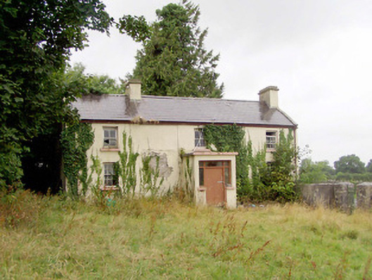 J. Hopkinshouse · 85 yd
 New Row FortFairy fort / earthen ringfort · 670 yd
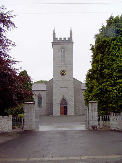 Catholic Church of the Nativity of the Blessed Virginchurch/chapel · 840 yd
 Bawnaveragh FortFairy fort / earthen ringfort · 960 yd
 Caltragh CastleCastle, unclassified · 1050 yd
 Elfeet CastleCastle, Anglo-Norman masonry castle · 1.5 mi
 Culnagore WoodForest · 1.7 mi
 Bush IslandIslet · 2.0 mi
 Elfeet BayBay · 2.0 mi
 Leveran IslandIslet · 2.3 mi
 Corlea Bog Walk Blue LoopWalking route · 3.6 mi
 Pollagh BayBay · 3.7 mi