What is recorded here
The precise location of a medieval mill in the townland of Sonna Demesne/Kildallan North has not been identified. The Corn Mill and Tuck Mill depicted on the 1837 ed. OS 6-inch map located on the townland boundary between Sonna Demesne and Kildallan North may be located on site of mill mentioned in the terrier of the 1655-9 Down Survey map of Templeoran parish. The terrier recorded stated that a 'Rivolett passeth through it through the Towne of Kildolan and Sonnagh on which Standeth a mill belonging to Sonnagh' (NLI MS 723-4). This location described in the Down Survey matches very closely the location of the Corn and Tuck Mill depicted on the 1837 ed. OS 6-inch map.
Compiled by: Caimin O'Brien
Date of upload: 23 July 2015
The monument record does not grant public access. Check the route and ask the landowner before entering private land.
- What survives
- Recorded monument
Places near here
 Enclosure in Sonna DemesneEnclosure · 251 yd
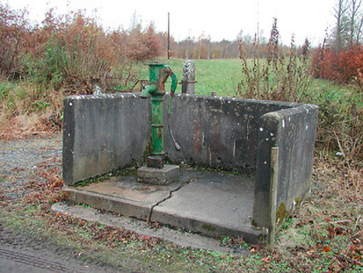 water pumpwater pump · 416 yd
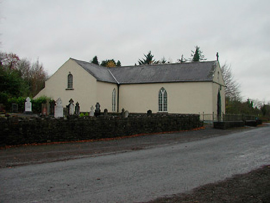 Saint Michael's Catholic Churchchurch/chapel · 515 yd
 OutlinedFairy fort / earthen ringfort · 1591 yd
 Simonstown Castle (in Ruins)Castle, unclassified · 1.8 mi
 WestmeathVisitor information · 1.9 mi
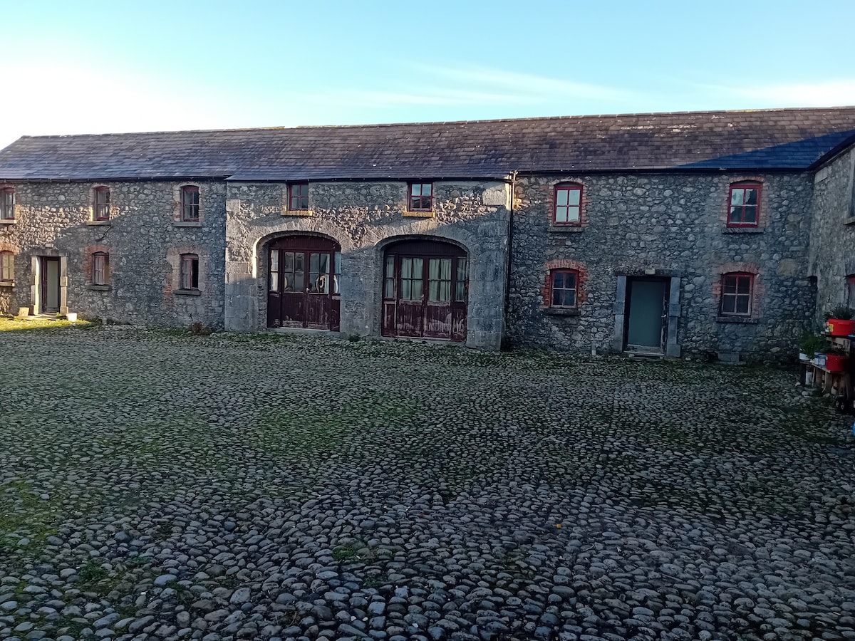 Bawn in BalleagnyBawn · 1.9 mi
 Carrickphilbin IslandIslet · 2.7 mi
 Ancient Ring FortWood · 3.2 mi
 Baronstown ForestWood · 3.3 mi
 Srudarra IslandIslet · 3.3 mi
 Abbeyshrule AbbeyRuins · 7.8 mi