What is recorded here
Not indicaetd is a one-metre upright stone on a north-facing slope in County Monaghan, Ireland. Its blunt point and neat orientation suggest people placed it there to mark time, territory or memory. The stone still stands where human hands first lifted it, waiting for someone to remember why.
Situated on a N-facing slope. This is an upright stone (dims of base 0.85m x 0.5m; H 1m) oriented NE-SW and with a bluntly pointed top (H 1m).
The above description is derived from the published 'Archaeological Inventory of County Monaghan' (Dublin: Stationery Office, 1986). In certain instances the entries have been revised and updated in the light of recent research.
Revised by: Michael Moore
Date of revision: 29 January 2018
The monument record does not grant public access. Check the route and ask the landowner before entering private land.
- What survives
- Recorded monument
Places near here
 CarnCairn, unclassified · 452 yd
 Giants GraveCourt tomb · 584 yd
 Lisarrilly HillMountain / peak · 1460 yd
 Roosky Castle (Site of)Castle, ringwork · 1642 yd
 Church in Templetate (dartree By., Clones Par.)Church · 1658 yd
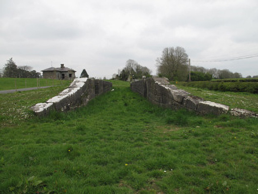 Templetate Locklock · 1.0 mi
 Jaundice WellSpring · 1.9 mi
 KillycoonaghWood · 3.0 mi
 Common LimeCommon Lime · 3.1 mi
 Saint John's WellSpring · 3.2 mi
 Rough HillMountain / peak · 3.6 mi
 Dagda's CauldronHeritage attraction · 4.6 mi