
What is recorded here
Long Island stretches 4.8 kilometres south of Schull, a slender ribbon of rock where thirty cottages still stand empty though only seventeen people remain. The lighthouse at Copper Point cuts through Atlantic darkness, guiding ships past the channel while abandoned walls swallow the footprints of the hundreds who fled during the famine decades. A ferry crosses six hundred metres of grey water to reach roads that end at an old copper mine, proving the island never stopped belonging to human ambition even as humanity withdrew.
Long Island is recorded as a island in County Cork. Its open map record supplies this location and any linked names or public references.
Places near here
 Coney IslandIslet · 1186 yd
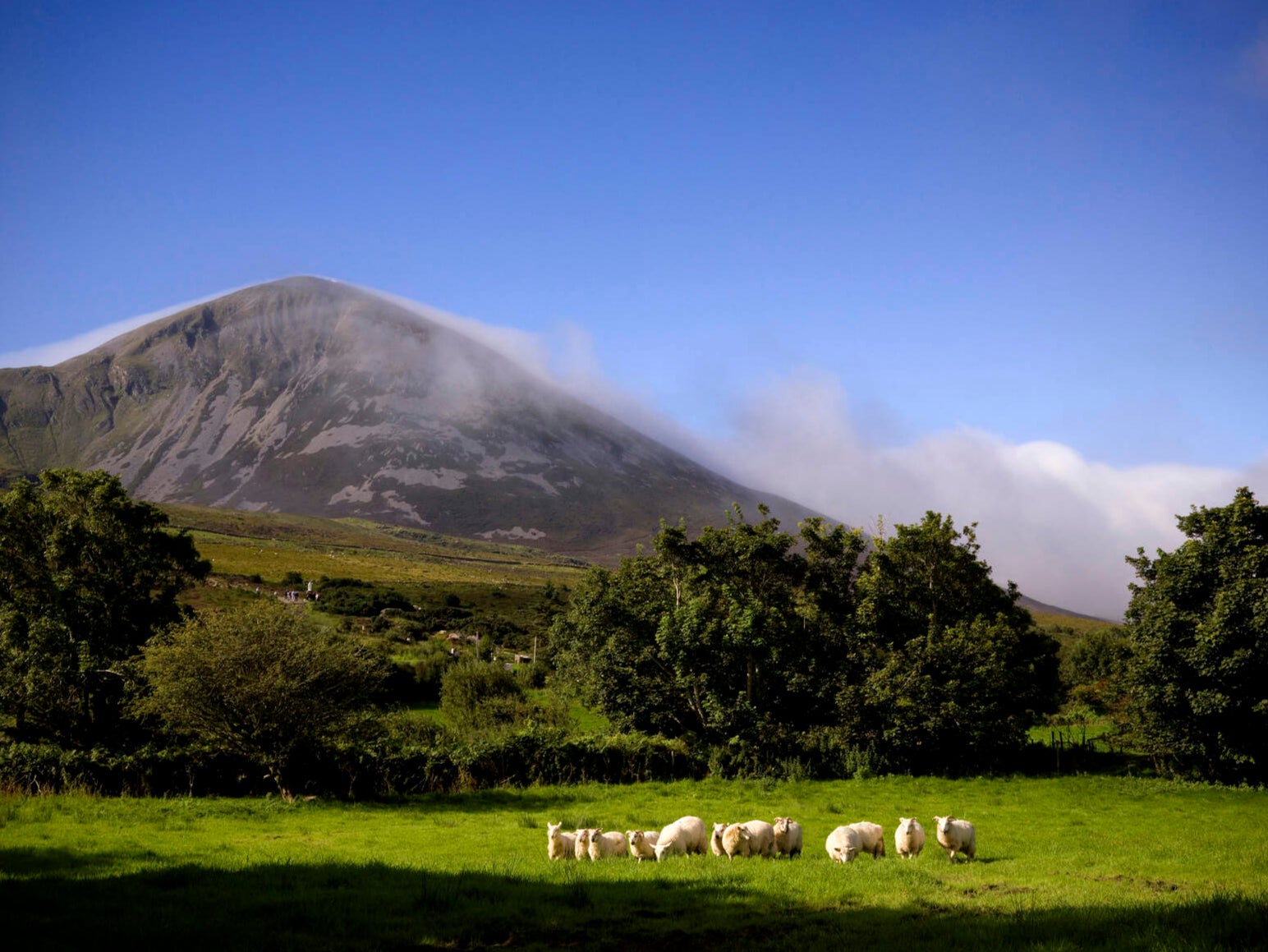 IndicatedEcclesiastical enclosure · 1.1 mi
 Church in CroaghChurch · 1.1 mi
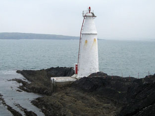 Copper Point Lighthousebeacon · 1.2 mi
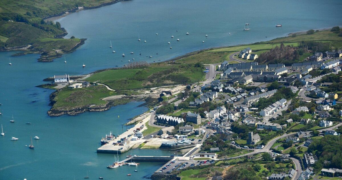 Fulacht fia in CaherluskyFulacht fia · 1.3 mi
 Sailor's HillViewpoint · 1.3 mi
 Coosheen PointHeadland · 1.7 mi
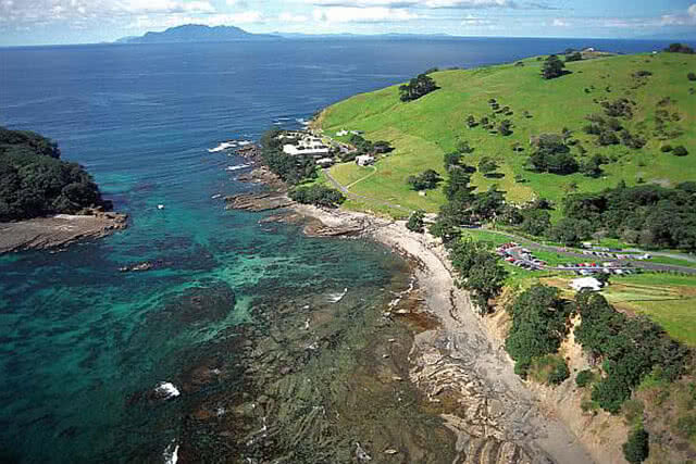 Goat IslandIslet · 1.9 mi
 Schull HarbourBay · 1.9 mi
 Cadogan's StrandHeritage attraction · 2.5 mi
 Schull "An Taisce"Visitor information · 2.5 mi
 Bawn in ArdintenantBawn · 2.7 mi
Other information
Photo: Richard Webb · CC BY-SA 2.0