What is recorded here
Elizabeth Fort rose in 1634 only after destroying St. Mary Del Nard, a parish church already marked on maps from 1601 and still functioning in 1580. Henry III granted its patronage to the bishop of Cork in 1270, and the bishop passed it to vicars choral in 1441. The church disappeared beneath military stone, but its name and map traces preserve the older religious life that occupied the site.
Site of St. Mary Del Nard parish church marked on Hardiman's map (c. 1601) and Speed's map (1610) within Elizabeth Fort (CO074-03901-). Foundation date not known; in 1270 Henry III granted patronage and advowson of church to bishop of Cork; in 1441 granted to vicars choral by bishop; still functioning in 1580 (Bradley et al. 1985, 69-70). Demolished in 1634 when Elizabeth Fort constructed (Brady 1863, vol. 1, 295).
The above description is derived from the published 'Archaeological Inventory of County Cork. Volume 2: East and South Cork' (Dublin: Stationery Office, 1994). In certain instances the entries have been revised and updated in the light of recent research.
Date of upload/revision: 14 January 2009
The monument record does not grant public access. Check the route and ask the landowner before entering private land.
- What survives
- Recorded monument
Places near here
 Elizabeth Fort (Disused) (1949-50)Bastioned fort · 1 yd
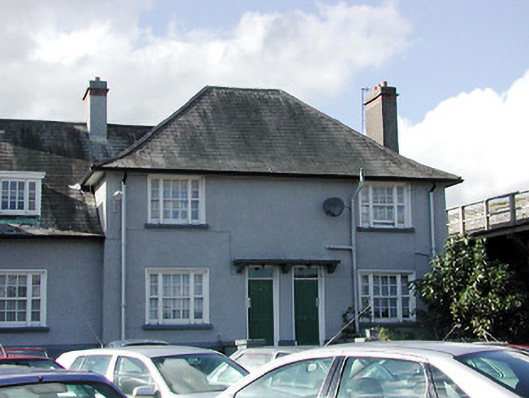 Keysers Hill Garda Stationgarda station/constabulary barracks · 6 yd
 Elizabeth Fortfortification · 21 yd
 Round Tower (Site of)Round tower · 87 yd
 Saint Fin Barre's CathedralHeritage attraction · 168 yd
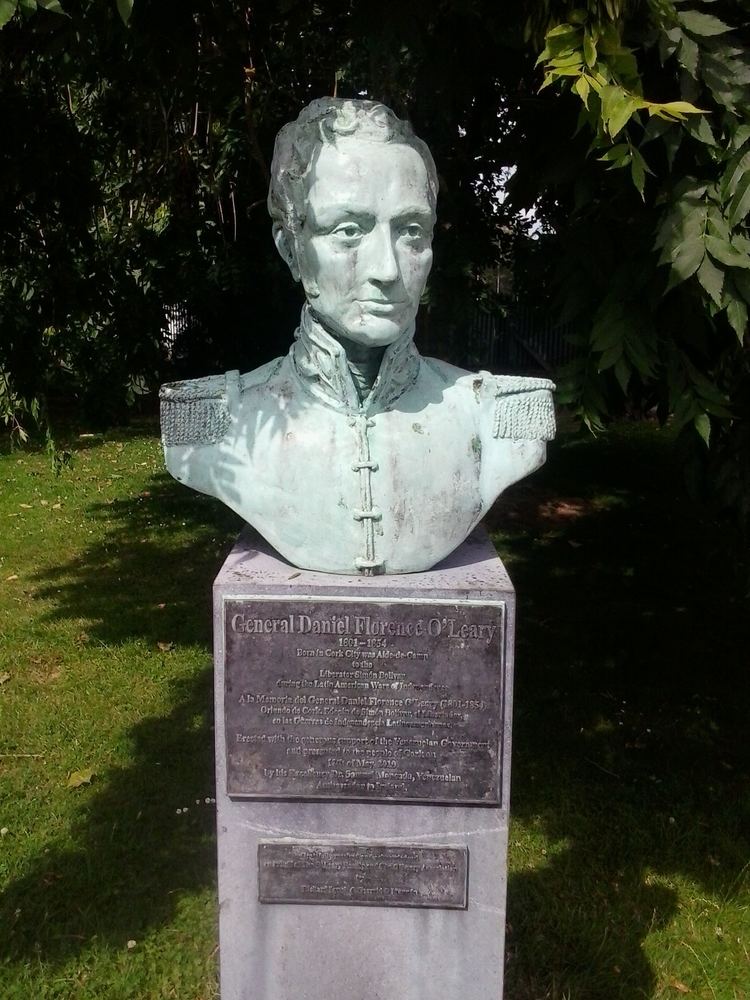 Daniel Florence O'Leary BirthplaceMemorial · 274 yd
 Cork War MemorialMemorial · 390 yd
 Bishop Lucey Park at Grand ParadeVisitor information · 401 yd
 Leper hospital in Cork CityLeper hospital · 81 yd
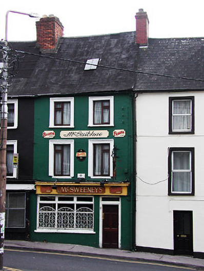 McSweeney'shouse · 86 yd
 St Fin Barre's Librarylibrary/archive · 97 yd
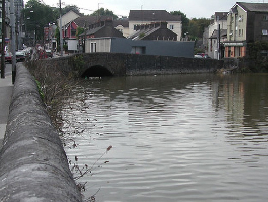 bridgebridge · 101 yd