
What is recorded here
Cork’s lost round tower rose a hundred feet east of St Fin Barre’s cathedral, tall enough to be seen on maps from Tuckey in 1545 through Pacata Hibernia. It survived gunfire in the 1690 siege but collapsed entirely in 1738, leaving only a circular absence where its shadow had once fallen across the city.
Maps of Tuckey (1545), Hardiman (c. 1601), Speed (1610) and Pacata Hibernia show circular steeple to E of St Fin Barre's cathedral (Bradley et al.1985, 52). A French traveller described it in 1644 as 100ft in height; it was damaged during the siege of Cork in 1690 and fell entirely in 1738 (Barrow 1979, 71). According to Barrow (ibid) illustrarion on late 17th century monstrance (see ill. Hurley 1881) shows tower with 'a broken top and six windows vertically in line above a round-headed doorway'. Generally regarded as a genuine round tower (Bradley et al. 1985, ibid).
The above description is derived from the published 'Archaeological Inventory of County Cork. Volume 2: East and South Cork' (Dublin: Stationery Office, 1994). In certain instances the entries have been revised and updated in the light of recent research.
Date of upload/revision: 14 January 2009
The Round Tower near St Fin Barre's Cathedral in Cork City was likely built in the 12th or 13th century, though its exact builders are unknown; it was a Romanesque structure, possibly of monastic origin, and notable as one of the tallest towers in Ireland before its collapse in the 17th century.
The monument record does not grant public access. Check the route and ask the landowner before entering private land.
- What survives
- Recorded monument
Places near here
 St Fin Barre's Librarylibrary/archive · 33 yd
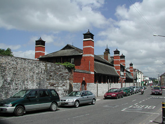 Crawford Commercial Parkbuilding misc · 45 yd
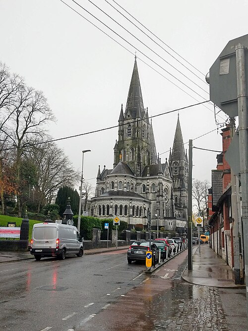 Saint Fin Barre's CathedralHeritage attraction · 81 yd
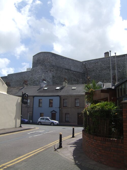 Elizabeth Fort (Disused) (1949-50)Bastioned fort · 87 yd
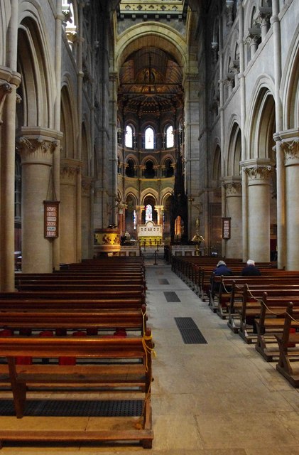 CathedralCathedral · 88 yd
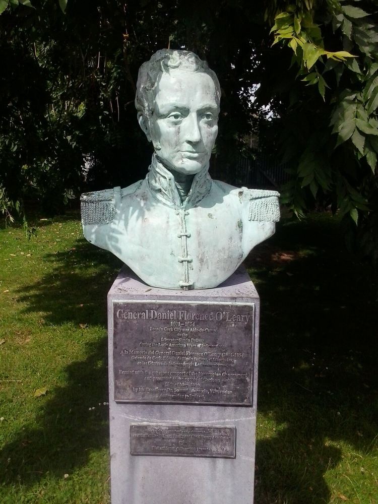 Daniel Florence O'Leary BirthplaceMemorial · 223 yd
 Bishop Lucey Park at Grand ParadeVisitor information · 460 yd
 Cork War MemorialMemorial · 472 yd
 Leper hospital in Cork CityLeper hospital · 54 yd
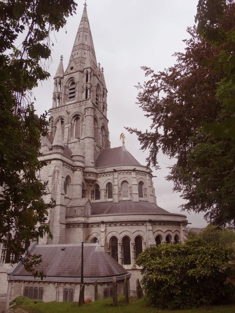 St Fin Barre's Cathedralcathedral · 76 yd
 Grave Yard (1949-50)Graveyard · 88 yd
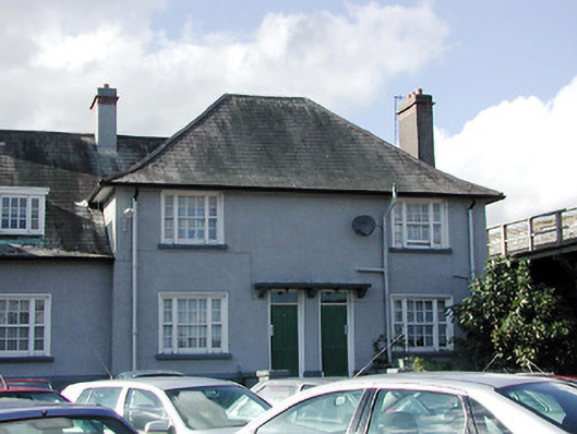 Keysers Hill Garda Stationgarda station/constabulary barracks · 90 yd
Other information
Photo: Daniel J Hastings · CC BY-SA 4.0