
What is recorded here
Partially hachured is a fairy fort or earthen ringfort in Corbally (fartullagh By.), County Westmeath, Ireland. The 1837 edition Ordnance Survey 6-inch map depicted the site as a large oval-shaped earthwork measuring approximately 50 metres by 39 metres, with a house site in the southwest quadrant. A revised 1913 edition Ordnance Survey 25-inch map showed the area as a penannular shape open to the southeast, while possible house sites remained visible in the southwest quadrant. The monument appears as a clear penannular-shaped cropmark on Ordnance Survey Ireland aerial photography, though only the faintest cropmark of this levelled monument is visible today on Digital Globe aerial photography.
Situated in pasture. Depicted on the 1837 ed. OS 6-inch map as a large oval-shaped earthwork (approx. dims. 50m NE-SW; 39m NW-SE) with a house site in the SW quadrant. Depicted on the revised 1913 ed. OS 25-inch map as a penannular-shaped area which is open to SE. Possible house site visible in the SW quadrant. Monument is visible as a clear pennanular-shaped cropmark on OSi aerial photography. Only the faintest cropmark of this levelled monument is visible today on Digital Globe aerial photography.
Compiled by Alison McQueen, Vera Rahilly and Caimin O’Brien.
Date of upload: 02 October 2019
The monument record does not grant public access. Check the route and ask the landowner before entering private land.
- What survives
- Recorded monument
Places near here
 Ecclesiastical enclosure in CatherinestownEcclesiastical enclosure · 369 yd
 Hut site in Corbally (fartullagh By.)Hut site · 415 yd
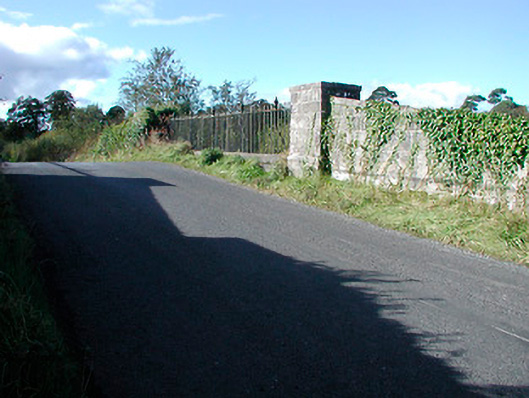 bridgebridge · 817 yd
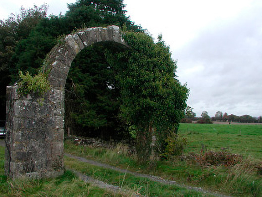 Violetstown Housefarmyard complex · 1073 yd
 CastleCastle, tower house · 1.1 mi
 Castle in RuinsCastle, tower house · 1.6 mi
 United Nations War MemorialMemorial · 4.8 mi
 Dysart IslandIsland · 4.8 mi
 Ash IslandIslet · 4.8 mi
 Saint Brigid's WellSpring · 5.5 mi
 Roundhill WoodForest · 11 mi
 IndicatedFairy fort / earthen ringfort · 665 yd
Other information
Photo: Credit not shown in the picture search · Rights wording not checked; contact us if this picture should be removed