What is recorded here
Road bridge (Wth c. 4.4m, long axis E-W) spanning the Slaheny River. Two segmental arches separated by a central pier built on a rock outcrop. The bridge has been extensively reinforced using concrete which masks much of the structural detail, especially on the upstream (S) side. On the downstream (N) side a few roughly shaped voussoirs are visible around the smaller W arch. Also on this side are a pair of buttresses of rough ashlar which flank the main arch.
Compiled by: Elizabeth Byrne, Ursula Egan and Sheila Ronan, Archaeological Survey Unit, University College, Cork.
Date of upload: 30 May 2011
The monument record does not grant public access. Check the route and ask the landowner before entering private land.
- What survives
- Recorded monument
Places near here
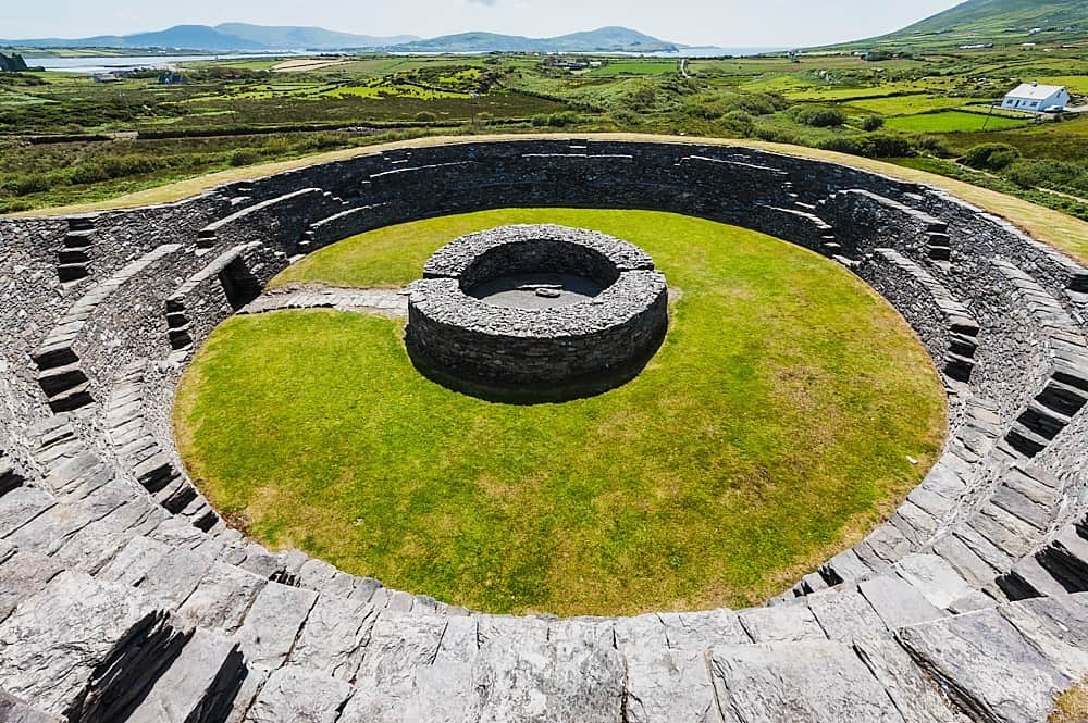 Cahergal Br.Bridge · 316 yd
 IndicatedFairy fort / earthen ringfort · 484 yd
 Glebe Ho.Ecclesiastical residence · 681 yd
 Great Southern & Western RailwayMemorial · 694 yd
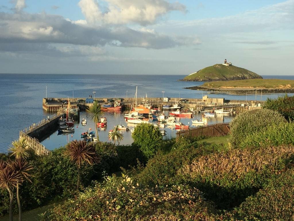 SunvilleCountry house · 777 yd
 Battle of Callannbattle · 1246 yd
 Kilgarvan Motor MuseumMuseum · 1515 yd
 Castle (Site of)Castle, unclassified · 1.1 mi
 European YewEuropean Yew · 1.2 mi
 KnockbrackMountain / peak · 2.1 mi
 Bird HillMountain / peak · 2.6 mi
 Hidden Valley Pet FarmHeritage attraction · 2.8 mi