What is recorded here
Fairy fort / earthen ringfort in Coolteige is a fairy fort or earthen ringfort in Coolteige, County Roscommon, Ireland. The D-shaped grass-covered area measures about 33 metres north-south and 20 metres east-west on a north-facing slope. An earthen bank and fosse define its western, southern and northern edges, while a field bank and road cut through the eastern side. An oval pond sits inside the enclosure, and archaeological testing nearby failed to find related material.
On a N-facing slope. D-shaped, grass-covered area (dims c. 33m N-S; c. 20m E-W) defined by an earthen bank (at W: Wth 6.8m; int. H 0.7m; ext. H 1.6m) and fosse (at W: Wth of base 1.8m; D 0.55m) S-W-N. There is an oval pond (dims. 14m N-S; 8m E-W; D 0.6m) in the interior, and the monument is truncated at E by a N-S field bank and road. Rath (RO035-066----) is c. 130m to the ESE. Archaeological testing (03E0749), c. 50m to the SE (Read 2006h), and further testing (05E0042) c. 70m to the S (Byrne, M. E. 2008a) failed to produce any related material.
Compiled by: Michael Moore
Date of upload: 24 August 2010
The monument record does not grant public access. Check the route and ask the landowner before entering private land.
- What survives
- Recorded monument
Places near here
 CashelFairy fort / stone ringfort · 713 yd
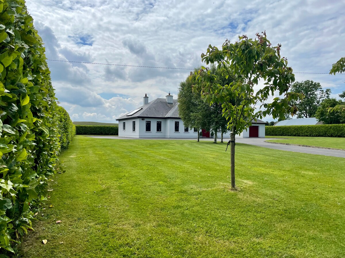 Embanked enclosureFairy fort / earthen ringfort · 1286 yd
 CastleCastle, unclassified · 1.5 mi
 Fortview Househouse · 1.6 mi
 Derrane AbbeyReligious house, Augustinian, of Arrouaise nuns · 1.6 mi
 Leitrim CastleCastle, unclassified · 2.9 mi
 Roscommon CastleCastle · 2.9 mi
 Big IslandForest · 4.5 mi
 Little IslandForest · 4.5 mi
 Slieve BawnMountain / peak · 5.3 mi
 FerrinchIslet · 6.1 mi
 Bushy IslandIslet · 6.9 mi