What is recorded here
Indicated is a two-metre rectangular stone standing in pasture on a south-facing slope in County Cork, Ireland. Its long axis points north-northeast to south-southwest, marking a direction or remembering an event now lost. A person may have placed it beside a road, a boundary or a grief, using stone to make the forgotten visible again.
In pasture on S-facing slope. Rectangular stone (H 2m; 1.6m x 0.46m), long axis NNE-SSW.
The above description is derived from the published 'Archaeological Inventory of County Cork. Volume 2: East and South Cork' (Dublin: Stationery Office, 1994). In certain instances the entries have been revised and updated in the light of recent research.
Date of upload/revision: 14 January 2009
The monument record does not grant public access. Check the route and ask the landowner before entering private land.
- What survives
- Recorded monument
Places near here
 Shantempleen (in Ruins)Church · 860 yd
 ViaductRailway bridge · 1342 yd
 Fulacht fia in ClogheenmilconFulacht fia · 1723 yd
 IndicatedFairy fort / earthen ringfort · 1728 yd
 Clogheenmilcon Nature Reserve Killeens EndPicnic place · 1.3 mi
 Castle (Site of)Castle, unclassified · 1.5 mi
 Clogheenmilcon FenVisitor information · 1.6 mi
:BlarneyCastle,KinsaleCorkCityShoreTour-KlookIndia.jpg) Clogheenmilcon SanctuaryNature reserve · 1.6 mi
Clogheenmilcon SanctuaryNature reserve · 1.6 mi Ring WoodWood · 1.6 mi
 Jerry O'Connor 1955-2005Memorial · 1.8 mi
 Waterloo Loop WalkWalking route · 1.8 mi
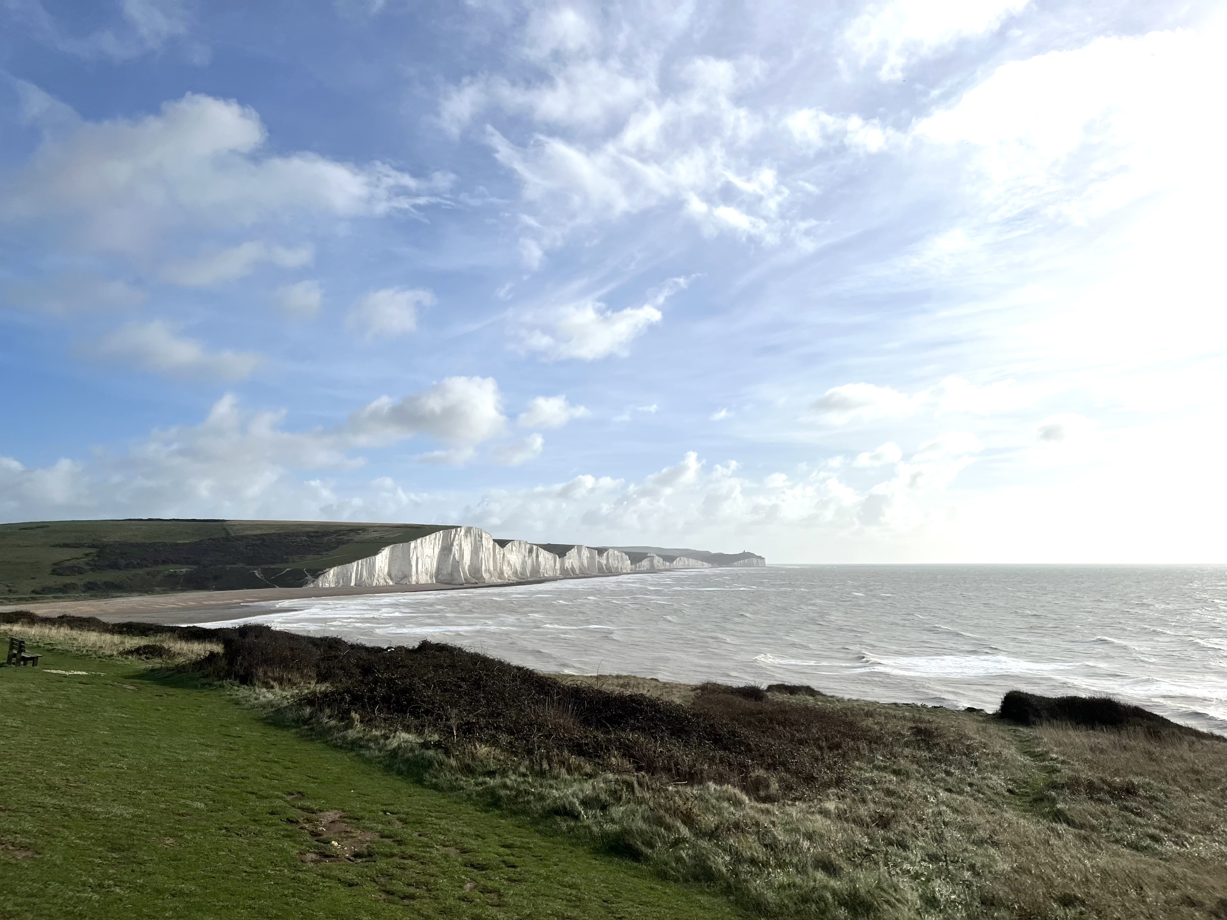 The Seven SistersHeritage attraction · 2.3 mi