What is recorded here
In pasture, on S-facing slope. Circular area (diam. c. 38.5m) defined by earthen bank (H 2.65m) SSW->NNW, with shallow fosse; short low rise to S and NE may mark line of levelled bank. Laneway to E curves as if to respect site. Stone-faced earthen field fence running E-W, and curving slightly, defines area to N. Gap worn in bank to NNW. Low ridge crosses interior on N-S axis.
From the National Monuments Service (Archaeological Survey of Ireland) record CO063-054
The monument record does not grant public access. Check the route and ask the landowner before entering private land.
- What survives
- Recorded monument
Places near here
Photo credits
- National Inventory of Architectural Heritage
- Sitomon, Wikimedia Commons · CC BY-SA 2.0
- Malene Thyssen, Wikimedia Commons · CC BY-SA 3.0
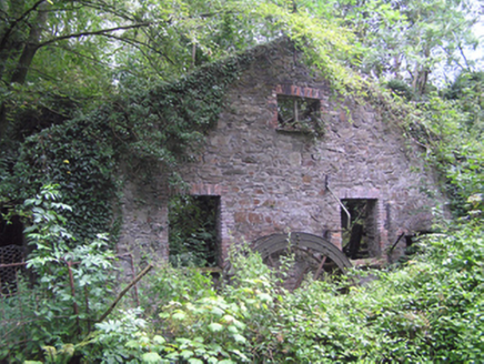 Coolowen MillMill (water) · 172 yd
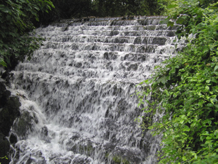 weir188 ydClogheenmilcon Nature Reserve Killeens EndPicnic place · 828 ydFulacht fia in Killeens (cork By.)Fulacht fia · 1177 ydClogheenmilcon FenVisitor information · 1739 ydAll Saints WellHoly well · 1.1 miCastle (Site of)Castle, unclassified · 1.8 miOld Cemetery KilcullyMemorial · 1.9 miJerry O'Connor 1955-2005Memorial · 1.9 miWaterloo Loop WalkWalking route · 1.9 mi
 European Yew2.0 mi
 European Beech2.1 mi
More archaeology and monuments in County Cork · All of County Cork
What do you know about this place?