
What is recorded here
In tillage. A roughly circular enclosure (diam. c. 44m), defined by a fosse which is visible as a cropmark on satellite imagery (Google Earth © 2023), identified and reported by Jean-Charles Caillère. There are two other enclosures (KK003-027---- and (KK003-047----), also visible as cropmarks, c. 230m to the N. Another enclosure (KK003-049----) lies c. 80m to the W and two other enclosures (KK003-027---- and KK003-047----) are visible as cropmarks c. 230m and c. 235m to the NNW respectively.
See attached imagery:
KK003-048----_01 Google Earth satellite imagery © 2023
Compiled by: Jean Farrelly
The monument record does not grant public access. Check the route and ask the landowner before entering private land.
- What survives
- Recorded monument
Places near here
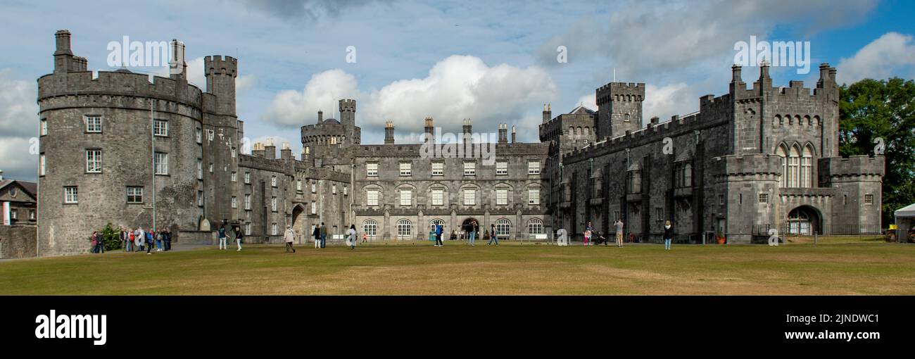 Enclosure in CoolnacruttaEnclosure · 286 yd
 IndicatedEnclosure · 461 yd
 Abbey (in ruins)Religious house, unclassified · 909 yd
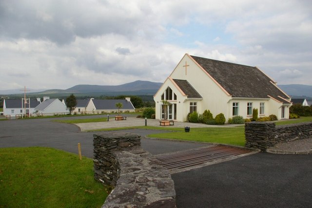 Church in GlashareChurch · 1496 yd
 Street fieldArchaeological place · 1510 yd
 Glashare CastleCastle, tower house · 1520 yd
 Bawn in AghmacartBawn · 1.5 mi
 Cnoc SeanrathaMemorial · 3.6 mi
 DelaneyMemorial · 3.9 mi
 Big WoodWood · 3.9 mi
 Clomantagh HillMountain / peak · 4.0 mi
 Anker's IslandIsland · 6.2 mi
Other information
Photo: Credit not shown in the picture search · Rights wording not checked; contact us if this picture should be removed