What is recorded here
Gallán was a tall irregular standing stone in Mid Cork pasture, marked on maps as one or two stones before disappearing around 1981. Its name changed from Dallauns to Gallaun to Gallán, while the depression nearby still hinted that a second stone may have stood beside it. Whatever gallantry or warning the rocks once carried, the pasture took it back.
In pasture. Depicted as pair of standing stones and named 'Dallauns' on 1842 OS 6-inch map; as single standing stone and named 'Gallaun' and 'Gallán' on 1904 and 1938 OS 6-inch maps, respectively. Hartnett (1939, 143) recorded single irregular stone (H 65ins; 48ins x 24ins) with depression in ground 10ft to NNE, which he suggested may be remains of socket for second stone. OS Name Books record two stones (H 91/2ft; 5ft x 3ft: H 51/2ft; 31/2ft x 3ft) standing 10ft apart (ibid.). No visible surface trace of site; according to local information, stone removed c. 1981. See also CO071-157----.
The above description is derived from the published 'Archaeological Inventory of County Cork. Volume 3: Mid Cork' (Dublin: Stationery Office, 1997). In certain instances the entries have been revised and updated in the light of recent research.
Date of revision: 16 December 2009
Revised by Mary Tunney
Likely dating to the Bronze Age, the standing stone may have served a ritual or territorial function. Local tradition sometimes associates such stones with early Christian figures or folklore, though specific meaning remains unrecorded.
The monument record does not grant public access. Check the route and ask the landowner before entering private land.
- What survives
- Recorded monument
Places near here
 Grave YardGraveyard · 423 yd
 Church (Site of)Church · 437 yd
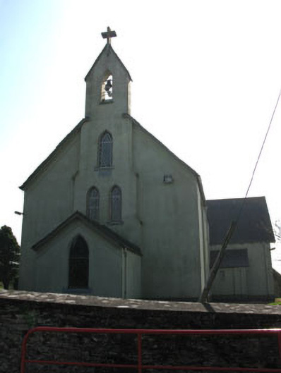 St John the Baptist Roman Catholic Churchchurch/chapel · 1554 yd
 Ashton Houserectory/glebe/vicarage/curate's house · 1735 yd
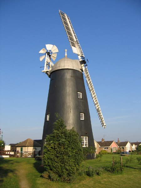 Steven's WoodWood · 1.4 mi
 Carrigadrohid Castle (in Ruins)Castle, tower house · 1.5 mi
 Carrigadrohid CastleHeritage attraction · 1.5 mi
 Carrigadrohid Castle InfoVisitor information · 1.6 mi
 Mashanaglass Castle (in Ruins)Castle, tower house · 1.7 mi
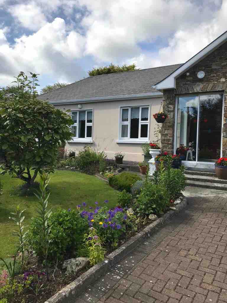 Leap WoodWood · 2.1 mi
 Priest MemorialMemorial · 2.7 mi
 Independence MuseumMuseum · 2.9 mi