What is recorded here
Coolmona held one of five ringforts spaced evenly along the Shournagh River valley. Hartnett measured the oval bank at 132 feet north to south and 126 feet east to west, but fence clearance in 1972 removed even that much. The fort disappeared into ordinary pasture, leaving behind a gap where a life once fit.
In pasture. Depicted as hachured circular enclosure (diam. c. 30m) on 1842, 1904 and 1939 OS 6-inch maps. According to local information, levelled c. 1972 during field fence clearance; no visible surface trace. Hartnett (1939, 184) recorded an oval fort '132 feet (N.-S.) and 126 feet E to W' enclosed by a 'collapsed and spread out' bank (H c. 3ft) and shallow fosse. One of five ringforts (CO050-120----; CO050-121----; CO050-122----; CO050-123----) evenly spaced over a distance of 800m along S-facing slope of Shournagh River valley.
The above description is derived from the published 'Archaeological Inventory of County Cork. Volume 3: Mid Cork' (Dublin: Stationery Office, 1997). In certain instances the entries have been revised and updated in the light of recent research.
Date of upload/revision: 14 January 2009
The monument record does not grant public access. Check the route and ask the landowner before entering private land.
- What survives
- Recorded monument
Places near here
 Lackabane LiosFairy fort / earthen ringfort · 670 yd
 farm housefarm house · 710 yd
 New TipperaryVisitor information · 1000 yd
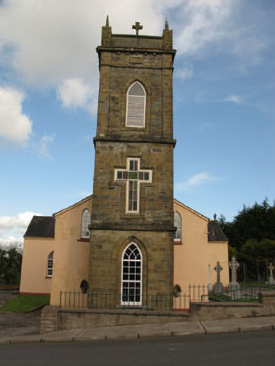 St Joesph's Roman Catholic Churchchurch/chapel · 1721 yd
 Grave YardGraveyard · 1.1 mi
 Ballyvodane Castle (in Ruins)Castle, unclassified · 2.1 mi
 Saint Bartholomew's WellSpring · 2.7 mi
 Knockduff Wind FarmVisitor information · 3.8 mi
 Lyradane MountainMountain / peak · 3.9 mi
 Oldcastle WoodWood · 4.1 mi
 Rock HillMountain / peak · 4.8 mi
 Carrignamuck Tower HouseCastle · 4.8 mi