
What is recorded here
Grave Yard stands beside a ruined church in County Cork, holding headstones carved since the 1780s. Machines recently flattened its northern edge for a new entrance, proving the dead do not stop the living from changing the world. The old stones still tilt beneath grass while new soil accepts new names, continuing an unbroken conversation between memory and forgetfulness.
On W side of road, overlooking ruined church (CO036-01902-) 150m to SSE. Sub-rectangular area (c. 40m E-W; c. 60m N-S) enclosed by stone-faced earthen bank. Most inscribed headstones in uneven overgrown area to S of centrally-placed ruined parish church of Coole (CO036-01904-); earliest noted headstones date to 1780s. Still in use; recently a new entrance from road inserted to NE and area to N and W of church levelled by machine.
The above description is derived from the published 'Archaeological Inventory of County Cork. Volume 2: East and South Cork' (Dublin: Stationery Office, 1994). In certain instances the entries have been revised and updated in the light of recent research.
Date of upload/revision: 14 January 2009
The monument record does not grant public access. Check the route and ask the landowner before entering private land.
- What survives
- Recorded monument
Places near here
 Coole Abbey (in Ruins)Church · 13 yd
 Coole WellVisitor information · 64 yd
 Holy WellHoly well · 74 yd
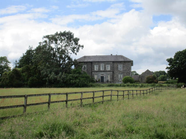 Coole Abbeyhouse · 168 yd
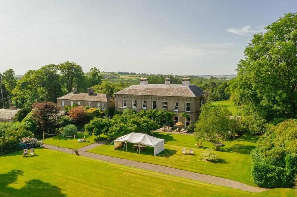 Hearth in Coole UpperHearth · 627 yd
 Pope's WellSpring · 1.5 mi
 Life Space ParkPicnic place · 1.6 mi
 Castle (in Ruins)Castle, tower house · 1.9 mi
 Barrymore Castle or Castle LyonsHouse, fortified house · 2.0 mi
 Strawhall WoodForest · 2.3 mi
 Ballybrack WoodForest · 2.8 mi
 Kent BridgeMemorial · 3.7 mi
Other information
Photo: Credit not shown in the picture search · Rights wording not checked; contact us if this picture should be removed