What is recorded here
Fairy fort in Coolcor, County Longford: a 46m earthen ring on a pasture slope, with a low stone bank, outer ditch and a narrow east-southeast entrance. It is the kind of place where people may have kept fire, tools or children close while trusting the field beyond. The name suggests they also left room for what does not answer back.
On a SSW-facing slope in pasture. A raised subcircular area (46m E-W; 42m N-S) enclosed from ENE-E-SE and at SW and NW by a low bank of earth and stone (Wth 5-5.7m; H 0.5-0.6m). Elsewhere the defining element is a scarp (H 0.7-1.9m). An external fosse (Wth 5.7-7.7m; D 0.5-0.6m) is evident from WNW-NW and from ENE-E-S. A break (Wth 4.5m) in the bank at ESE marks the original entrance. The rath is divided into unequal portions by a NE-SW field boundary.
Compiled by: Patrick F. O'Donovan
Date of upload: 30 November 2011
The monument record does not grant public access. Check the route and ask the landowner before entering private land.
- What survives
- Recorded monument
Places near here
 BawnBawn · 704 yd
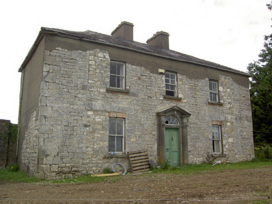 Ballinlough Househouse · 1190 yd
 BarrowBarrow, unclassified · 1556 yd
 Enclosure in RathbrackanEnclosure · 1689 yd
 Water millWater mill, unclassified · 1.1 mi
 Cloonfin WoodForest · 1.4 mi
 Clonfin Ambush MemorialMemorial · 2.2 mi
 InchmoreIslet · 2.2 mi
 Derrycassan WoodsWood · 2.7 mi
 CastleCastle, unclassified · 3.0 mi
 Granard MotteMotte-and-bailey castle remains · 3.0 mi
 1798 Monumentmonument · 3.0 mi