What is recorded here
Located at the bottom of a W-facing slope with a meandering N-S section of the combined Corrock River c. 150m to the W. A magnetic gradiometer survey (20R0129) over an extensive area identified an enclosure (diam. c. 32m) defined by faint traces interrupted sections of a fosse or individual pits on land that was once part of the demesne of Coolcliffe House. (Nicholls 2020, 11 F 45, Fig. 13, 26)
See the attached view from Nicholls (2020, Fig. 13, top left)
Compiled by: Michael Moore
Date of upload: 30 December 2020
The monument record does not grant public access. Check the route and ask the landowner before entering private land.
- What survives
- Recorded monument
Places near here
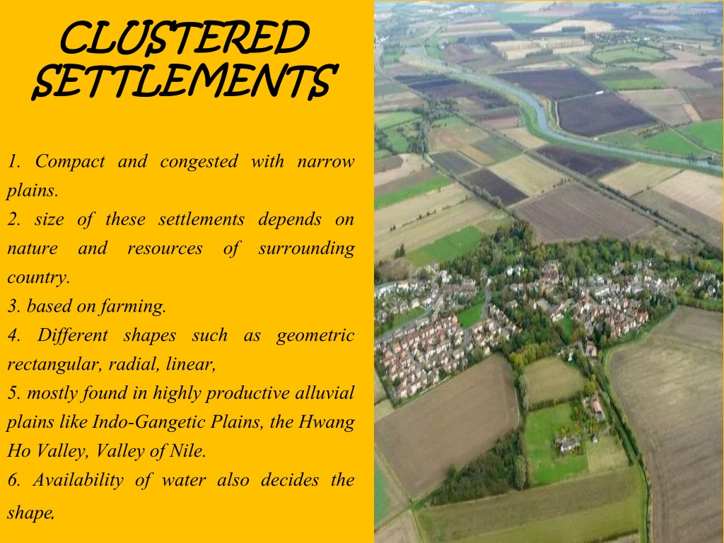 Settlement cluster in CoolcliffeSettlement cluster · 140 yd
 Coolcliffe Housegates/railings/walls · 380 yd
 Enclosure in CoolcliffeEnclosure · 393 yd
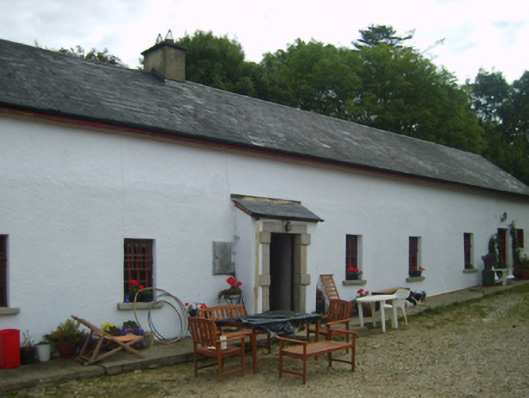 farm housefarm house · 1346 yd
 CastleCastle, tower house · 1359 yd
 Bawn in Tracystown WestBawn · 2.0 mi
 Carrig-On-BannowVisitor information · 4.4 mi
 1798 MemorialMemorial · 4.4 mi
 Carrickbyrne HillMountain / peak · 5.2 mi
 Cullenstown StrandBeach / strand · 5.9 mi
 Blackhall StrandBeach / strand · 6.1 mi
 Glenour MonumentMemorial · 6.2 mi