What is recorded here
This is the record for the pit excavated by Ellen O'Carroll (E3244) on the N11 road improvement scheme. The pit measuring 1.05m by 0.9m in diameter and 0.11m in depth. It had a single fill and there were no finds to suggest a date or function. (O'Carroll 2009g)
Compiled by: Denis Power
Date of upload: 17 January 2013
The monument record does not grant public access. Check the route and ask the landowner before entering private land.
- What survives
- Recorded monument
Places near here
 Church in KilboyChurch · 429 yd
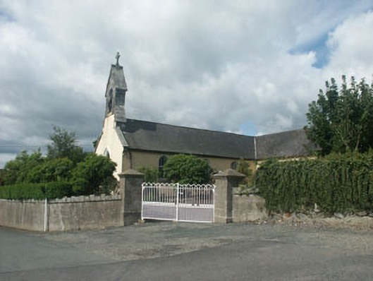 Saint Brigid's Catholic Churchchurch/chapel · 1082 yd
 Font (present location) in Ballinacor WestFont (present location) · 1419 yd
 IndicatedFairy fort / earthen ringfort · 1.1 mi
 European hornbeamEuropean hornbeam · 1.1 mi
 European YewEuropean Yew · 1.1 mi
 Furzeditch BeachBeach / strand · 3.7 mi
 Brittas BayBeach / strand · 3.9 mi
 Viewing TowerHeritage attraction · 4.4 mi
 Carrick MountainMountain / peak · 4.6 mi
 Castle in ruinsCastle, tower house · 4.6 mi
 BallinastrawMountain / peak · 4.6 mi