What is recorded here
Situated on level poorly drained ground in forestry. Oval area (dims. 37.6m NW-SE; 34.5m NE-SW) defined by an earthen bank (Wth 2.8-3.5m; int. H 0.5-0.8m) and external fosse (Wth 1.8-2.3m; D 0.8m). There is a gap in the bank (Wth 1.3m) at the NNE but no corresponding causeway. The only features in the slightly domed interior consist of rock outcrops.
From the National Monuments Service (Archaeological Survey of Ireland) record WI031-004
The monument record does not grant public access. Check the route and ask the landowner before entering private land.
- What survives
- Recorded monument
Places near here
Photo credits
- National Inventory of Architectural Heritage
- Yosemite, Wikimedia Commons · CC BY-SA 3.0
- jonleebotany, Wikimedia Commons · CC0
- Sarah777 at English Wikipedia, Wikimedia Commons · Public domain
- 瑞丽江的河水, Wikimedia Commons · CC BY-SA 4.0
- Andreas F. Borchert, Wikimedia Commons · CC BY-SA 4.0
- David Sands, Geograph · CC BY-SA 2.0
Enclosure in Kilnamanagh BegEnclosure · 934 yd Ballymurrin HouseHouse · 1269 ydWoodville HouseHouse · 1300 ydIndicatedHoly well · 1712 ydJapanese cedar1.2 miLawson's Cypress1.3 miCarrick MountainMountain / peak · 3.6 miBallinastrawMountain / peak · 4.0 miFurzeditch BeachBeach / strand · 4.0 miViewing TowerHeritage attraction · 4.6 miBlack Castle (in ruin)Castle, Anglo-Norman masonry castle · 4.8 miBrittas BayBeach / strand · 4.8 mi
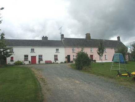 Ballymurrin HouseHouse · 1269 yd
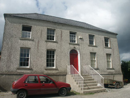 Woodville HouseHouse · 1300 ydIndicatedHoly well · 1712 yd
 Japanese cedar1.2 mi
 Lawson's Cypress1.3 mi
 Carrick MountainMountain / peak · 3.6 miBallinastrawMountain / peak · 4.0 miFurzeditch BeachBeach / strand · 4.0 mi
 Viewing TowerHeritage attraction · 4.6 mi
 Black Castle (in ruin)Castle, Anglo-Norman masonry castle · 4.8 mi
 Brittas BayBeach / strand · 4.8 mi
More archaeology and monuments in County Wicklow · All of County Wicklow
What do you know about this place?