What is recorded here
This is the record for Area B in Red Tobin's excavation (E3259) on the N11 road improvement scheme. This consisted of four pits/post-holes. Each pit/post-hole was c. 0.3m diameter and contained charcoal-rich fills. Three further pits were in close proximity forming a line of pits/post-holes orientated roughly 3.5m north–south; they were located c. 14m to the east of this cluster of features. The site was interpreted as being structural in nature, possibly representing a prehistoric structure Bronze Age in date. (Tobin 2009g)
Compiled by: Denis Power
Date of upload: 17 January 2013
The monument record does not grant public access. Check the route and ask the landowner before entering private land.
- What survives
- Recorded monument
Places near here
 Enclosure in CoolbegEnclosure · 632 yd
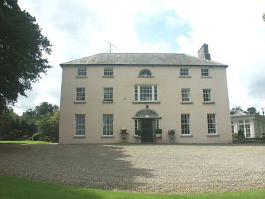 Ballymoney Housecountry house · 1358 yd
 Enclosure in Ballinteskin (arklow By.)Enclosure · 1423 yd
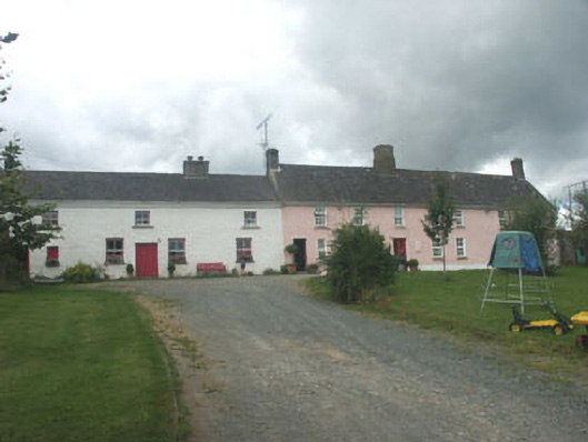 Ballymurrin Househouse · 1601 yd
 European hornbeamEuropean hornbeam · 2.1 mi
 European YewEuropean Yew · 2.1 mi
 CastleCastle, unclassified · 3.4 mi
 Magheramore BeachBeach / strand · 3.4 mi
 Furzeditch BeachBeach / strand · 3.4 mi
 Round MountCastle, motte · 3.4 mi
 Carrick MountainMountain / peak · 3.8 mi
 Glen Beach Cliff WalkWalking route · 3.9 mi