What is recorded here
Orange Fort is a vanished rath on a Longford drumlin, reduced now to a shallow dip and one stubborn scar of earth. It may have housed families, hidden stock or waited out storms, but the land has taken back most of its shape. What remains is a hint of circumference, large enough to walk inside and quiet enough to forget.
On a NW-SE drumlin ridge. A report in 1975 (SMR file) recorded a raised subcircular area (c. 47m N-S; c. 41m E-W) enclosed by a wide low bank of earth and stone with a wide, shallow, external fosse. The original entrance was not recognisable. Apart from a short stretch of a scarp (H 1.8m) at SW, the rath has been levelled.
Compiled by: Patrick F. O'Donovan
Date of upload: 26 August 2011
The monument record does not grant public access. Check the route and ask the landowner before entering private land.
- What survives
- Recorded monument
Places near here
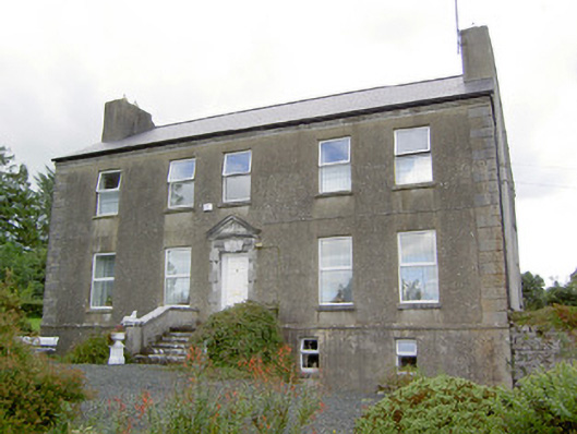 Spring Parkcountry house · 736 yd
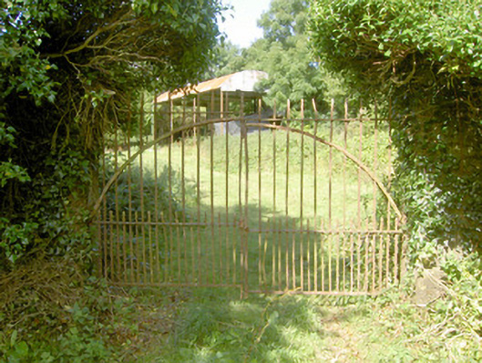 Cloonfin Housegates/railings/walls · 1037 yd
 Clonfin Ambush MemorialMemorial · 1111 yd
 IndicatedFairy fort / earthen ringfort · 1697 yd
 Enclosure in Tully (granard By.)Enclosure · 1.2 mi
 CastleCastle, unclassified · 1.4 mi
 Cloonfin WoodForest · 1.8 mi
 BawnBawn · 2.0 mi
 Granard MotteMotte-and-bailey castle remains · 3.2 mi
 1798 Monumentmonument · 3.2 mi
 Ballinalee Forest WalkForest · 3.5 mi
 Bully's Acregraveyard/cemetery, unknown · 3.8 mi
Other information
Photo: Credit not shown in the picture search · Rights wording not checked; contact us if this picture should be removed