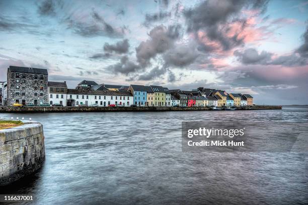
What is recorded here
Indicated, a subcircular enclosure twenty-six metres across in County Galway, vanished beneath quarry teeth after surviving centuries of karst wind and human neglect. The 1945-6 map caught its shadow just long enough to prove it existed. Now only the absence remains, a hole where a boundary once held life steady.
Within an industrial quarry in an area of karstic terrain with rough scrub and grassland. Marked on the 1945-6 revision of the OS 6-inch map as a roughly subcircular enclosure or field (c. 26m NW-SE; 22m NE-SW). It has been destroyed as a result of quarrying.
Compiled by: Olive Alcock
Date of upload: 22 February 2018
This remains an important historical record, but the official description says the monument is no longer visible or has been destroyed. The monument record does not grant public access. Check the route and ask the landowner before entering private land.
- What survives
- No visible remains or recorded as destroyed
Places near here
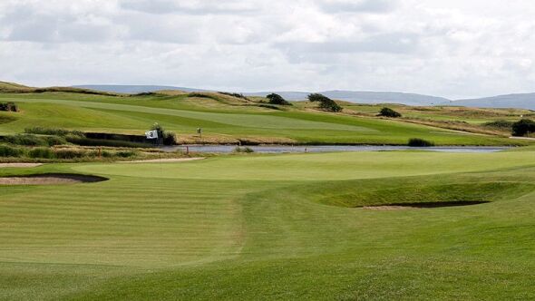 Quarry in BallindoolyQuarry · 824 yd
 Mass-rock in Coolagh (galway By.)Mass-rock · 1274 yd
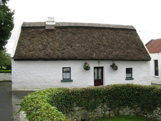 farmyard complexfarmyard complex · 1297 yd
 Crannog in Castlegar (galway By.)Crannog · 1349 yd
 Ballindooley CastleCastle, tower house · 1474 yd
 Castle Gar in ruinsCastle, tower house · 1652 yd
 Cooper's CaveCave · 1707 yd
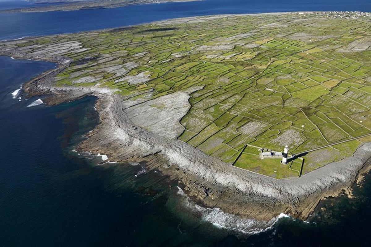 Jordan's IslandIslet · 1.2 mi
 Yew Tree MazeHeritage attraction · 1.3 mi
 Royal Tara Visitor CentreHeritage attraction · 1.5 mi
 Seán DugganMemorial · 1.8 mi
 GinkgoGinkgo · 1.8 mi
Other information
Photo: Credit not shown in the picture search · Rights wording not checked; contact us if this picture should be removed