
What is recorded here
On a strip of grass in Crestwood housing estate. This mass-rock consists of a large granite boulder (1.9m NW-SE; 1.7m NE-SW) that is pentagonal in plan. The upper surface is flat and fairly even, sloping from 1m in height at E to 0.9m at W.
Updated by: Olive Alcock
Date of revised upload: 1 June 2018
A local holy well or ritual site; wider significance not recorded.
The monument record does not grant public access. Check the route and ask the landowner before entering private land.
- What survives
- Recorded monument
Places near here
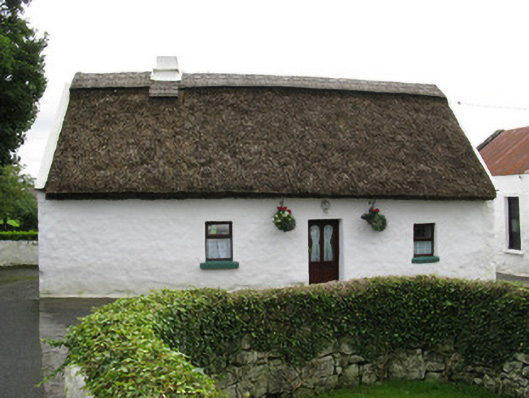 farmyard complexfarmyard complex · 721 yd
 Iodine FactoryRuins · 831 yd
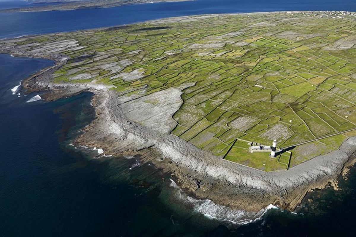 Jordan's IslandIslet · 1026 yd
 Yew Tree MazeHeritage attraction · 1090 yd
 Boilingbrook FortBastioned fort · 1138 yd
 Terryland CastleCastle · 1174 yd
 Terryland Castle (in Ruins)Castle, unclassified · 1177 yd
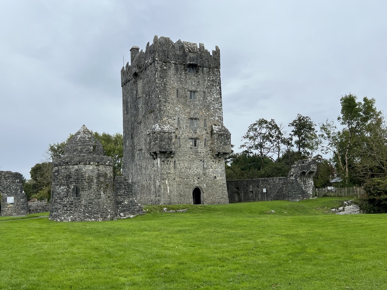 Bastioned fort in Townparks (galway By., St. Nicholas Par.)Bastioned fort · 1390 yd
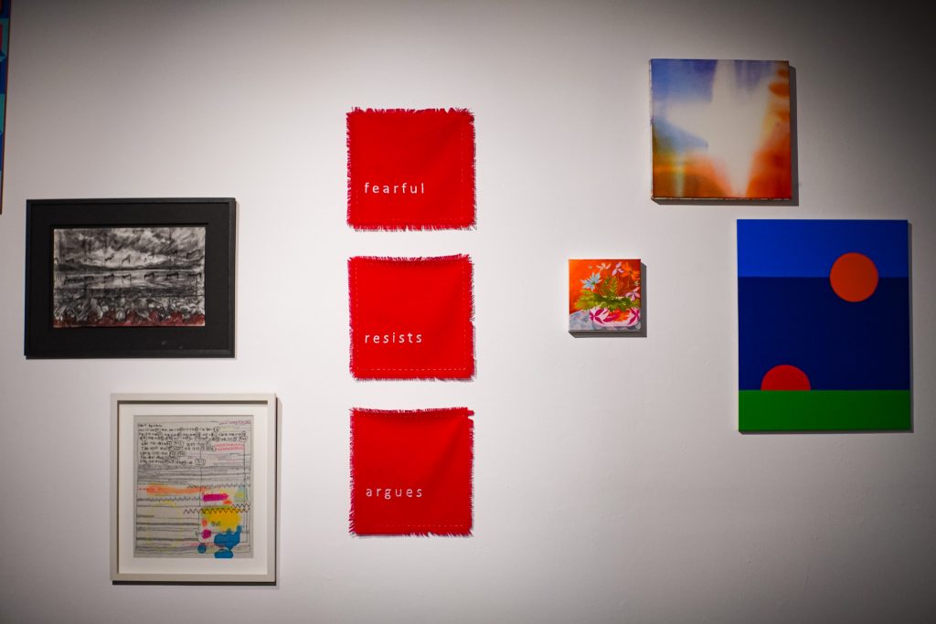 126 Artist-Run GalleryGallery · 1646 yd
 GinkgoGinkgo · 1.1 mi
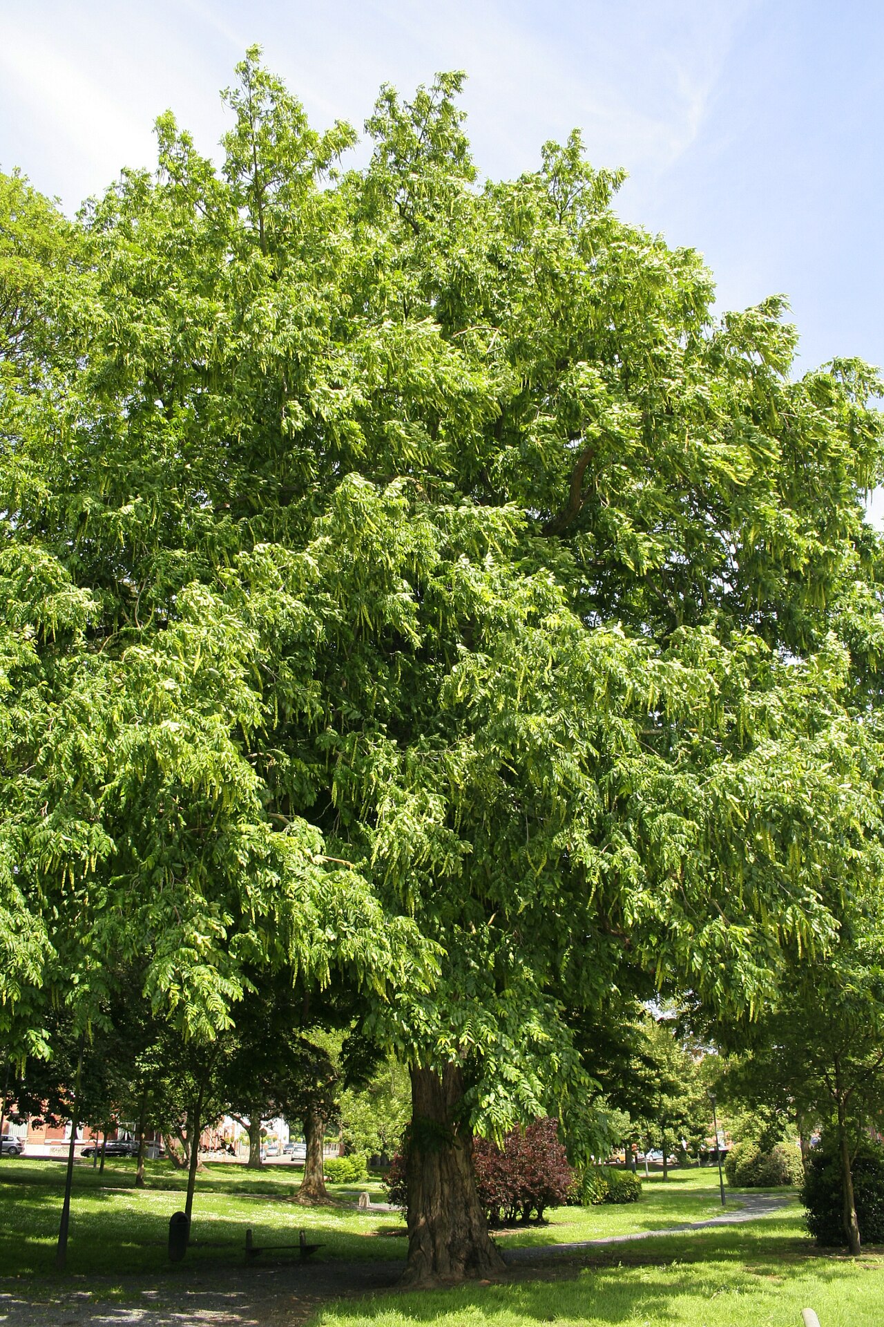 Caucasian WingnutCaucasian Wingnut · 1.1 mi
 Seán DugganMemorial · 1.1 mi
Other information
Photo: Credit not shown in the picture search · Rights wording not checked; contact us if this picture should be removed