What is recorded here
Two ghost rings float above the Cookstown fields, visible only when sunlight strikes the land at the right angle. They may mark a forgotten fort where people lived, loved and died before the grass swallowed their walls. The earth keeps that secret steady while the sky reveals it briefly, forcing us to wonder what human hands built there.
The following description is derived from both the published 'Archaeological Inventory of County Louth' (Dublin: Stationery Office, 1986) and the 'Archaeological Survey of County Louth' (Dublin: Stationery Office, 1991). In certain instances the entries have been revised and updated in the light of recent research.
Date of upload/revision: 17 July 2007
Cropmarks of two concentric arcs suggesting the remains of enclosure, possibly a ringfort, on aerial photograph (CUCAP, AVG 25).
The monument record does not grant public access. Check the route and ask the landowner before entering private land.
- What survives
- Recorded monument
Places near here
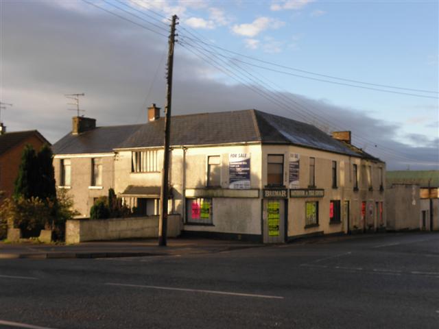 Enclosure in CookstownEnclosure · 169 yd
 Site of Cookstown CastleCastle, unclassified · 192 yd
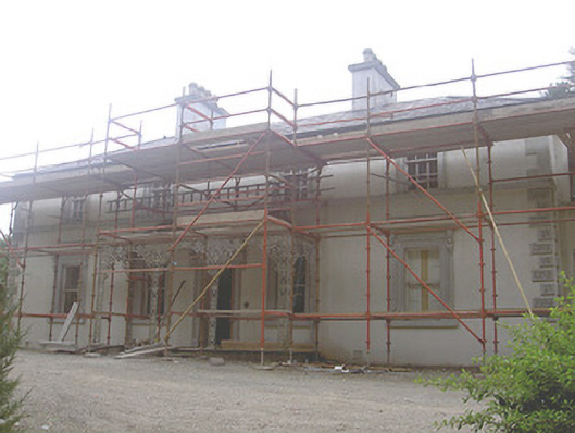 Cookstown Househouse · 484 yd
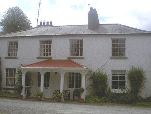 Charlestown Houserectory/glebe/vicarage/curate's house · 618 yd
 Font in CookstownFont · 628 yd
 Site of Mullanstown CastleCastle, unclassified · 1.6 mi
 Long PlantationForest · 1.9 mi
 English hollyEnglish holly · 2.2 mi
 Sir Frederick Foster MemorialMemorial · 2.7 mi
 Matthew's HillMountain / peak · 2.8 mi
 Yellow HillMountain / peak · 2.8 mi
 Flat cemetery in AnnaheanFlat cemetery · 3.8 mi