What is recorded here
Cropmark of fosse of rectangular enclosure (c. 50m E-W; c. 30m N-S) visible in aerial photograph (CASAP, July 1989) with faint linear cropmark, probably a levelled field fence, extending E and W into field from S side of enclosure. Complex of enclosures (13736,13522,13737) and pits (13854) c. 150m to NE.
The above description is derived from the published 'Archaeological Inventory of County Cork. Volume 4: North Cork' (Dublin: Stationery Office, 2000). In certain instances the entries have been revised and updated in the light of recent research.
Date of upload/revision: 14 January 2009
The monument record does not grant public access. Check the route and ask the landowner before entering private land.
- What survives
- Recorded monument
Places near here
 Enclosure in ConvaEnclosure · 277 yd
 Blackwater (Avondhu) WayWalking route · 315 yd
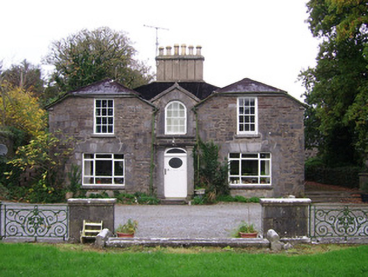 Convamoresteward's house · 361 yd
 Convamore (in Ruins)Country house · 369 yd
 IcehouseIcehouse · 486 yd
 Castle (in Ruins)Castle, unclassified · 1175 yd
 Priest's WoodForest · 1503 yd
 Ballyhooly CastleCastle · 1708 yd
 Johnson's WoodForest · 1.1 mi
 Knocknaskagh North TopMountain / peak · 2.3 mi
 Liam BurkeMemorial · 2.7 mi
 SeefinMountain / peak · 3.9 mi